

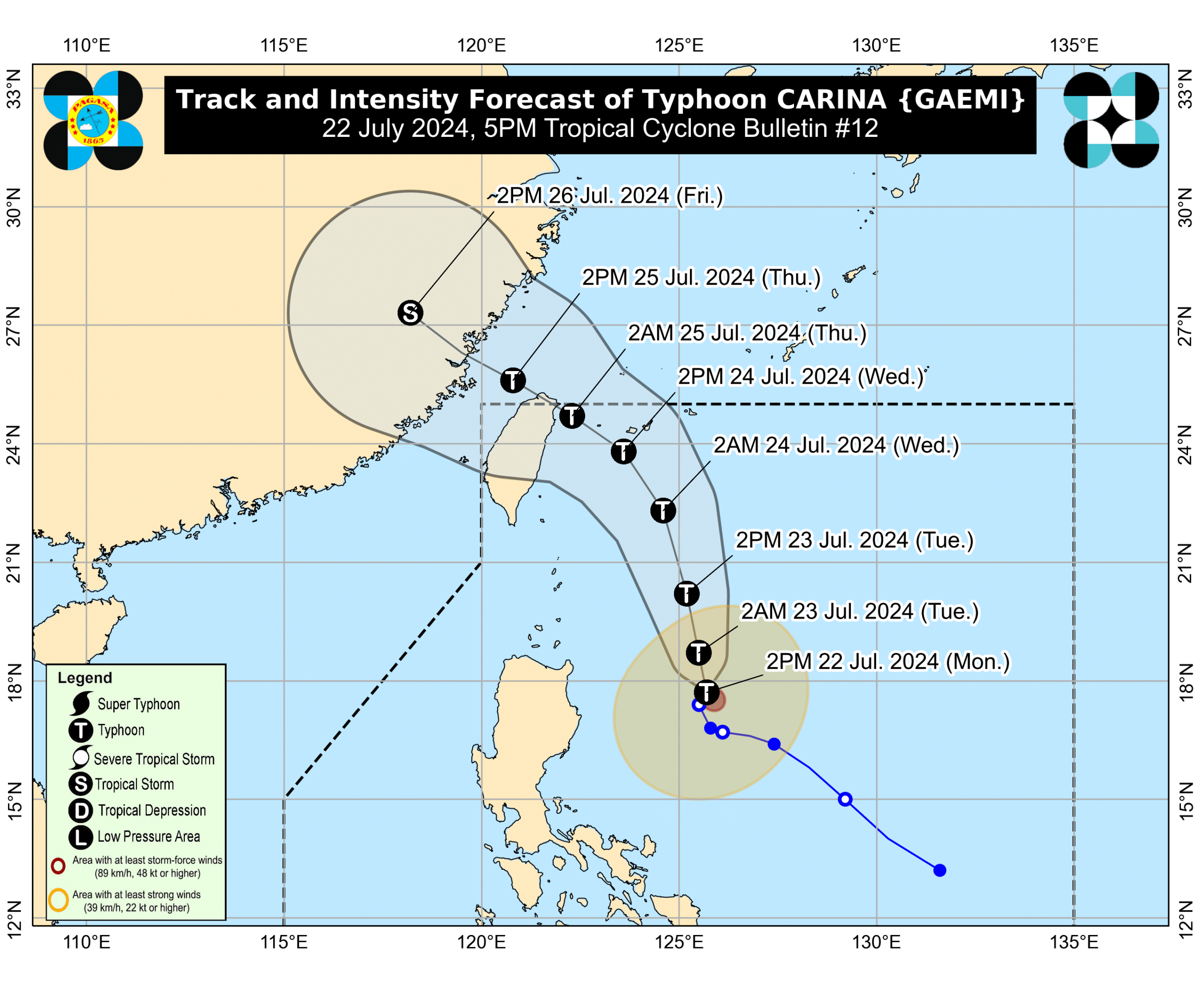

MANILA, Philippines — Tropical Cyclone Carina intensified into a typhoon on Monday afternoon, state meteorologists said as it hoisted Tropical Cyclone Wind Signal (TCWS) No. 1 in four areas in Luzon.
Carina intensified into a typhoon as of 2:00 p.m., according to the Philippine Atmospheric, Geophysical and Astronomical Services Administration’s (Pagasa) latest update.
Pagasa said the typhoon was last spotted 420 kilometers east of Tuguegarao City, Cagayan, packing maximum sustained winds of 120 kilometers per hour (kph) near the center and gustiness of up to 150 kph.
TCWS No. 1 was hoisted in Batanes, the eastern portion of mainland Cagayan (Santa Ana, Gattaran, Baggao, Peñablanca, Lal-Lo, Gonzaga) including the eastern portion of Babuyan Islands (Camiguin Is., Babuyan Is.), and the northeastern portion of Isabela (Divilacan, Palanan, Maconacon).
Areas under TCWS No. 1 are expected to experience 39 to 61 kph wind speed, which causes minimal to minor threat to life and property.
Carina will remain far from the country’s landmass and exit the Philippine area of responsibility on Wednesday evening or Thursday early morning.