
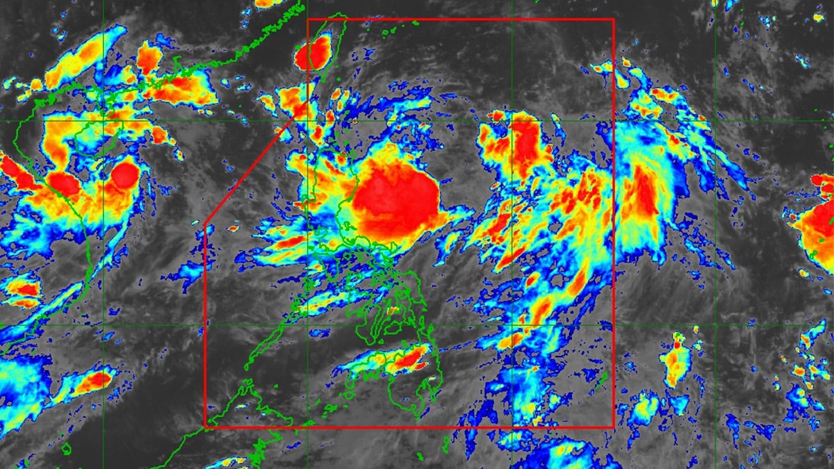
Photo courtesy of Pagasa
MANILA, Philippines — Tropical storm Carina (international name: Gaemi) maintained its strength off Casiguran in Aurora as it moved over the Philippine Sea on Sunday afternoon, according to the state weather bureau.
In its 5 p.m. cyclone update, the Philippine Atmospheric, Geophysical and Astronomical Services Administration (Pagasa) reported that Carina was last monitored 365 kilometers east northeast of Casiguran.
It is almost stationary, packing maximum sustained winds of 85 kilometers per hour (kph) near the center with gustiness of up to 115 kph.

Pagasa said it had not raised wind signals in any part of the country as of posting time. However, the state weather bureau said it is not ruling out the possibility of raising signal no. 1 over Extreme Northern Luzon due to the storm.
It added Carina is expected to enhance the southwest monsoon, locally known as habagat, and will bring strong to gale-force gusts over the following areas:
July 21 to 22
Mimaropa, Bicol Region, Western Visayas, Northern Samar, and the northern portion of Samar (province)
July 22 to 23
Zambales, Bataan, Metro Manila, Calabarzon, Mimaropa, Bicol Region, and Visayas
July 23 to 24
Ilocos Region, Central Luzon, Metro Manila, Calabarzon, Mimaropa, Bicol Region, and Visayas
From Sunday until Tuesday, Carina is expected to move north-northwestward to a northward direction and exit the country’s area of responsibility by Wednesday.