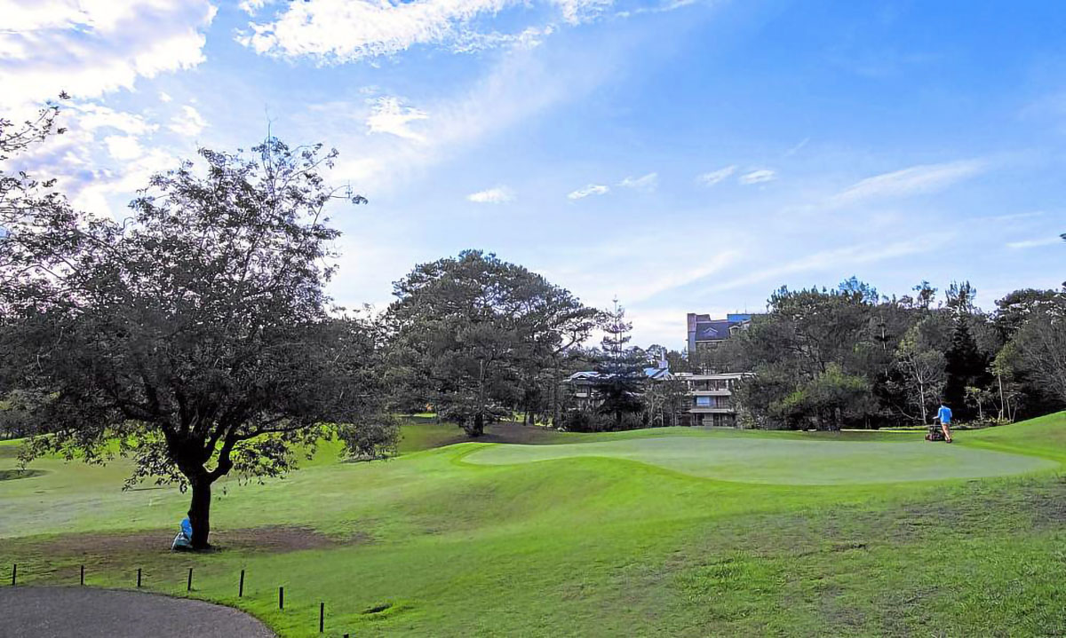
BEYOND THE GREENS The forests of Camp John Hay, which surround its golf course and other developed areas, can be tapped for surface water, according to the Department of Environment and Natural Resources. These woodlands can benefit nearby settlements and augment drinking water supplied by the Baguio Water District, it says. —Neil Clark Ongchangco
BAGUIO CITY, Philippines — The pine forests of Camp John Hay have been eyed as a potential source of drinking water for the city, part of a solution to dropping water supplies here and in parts of the Cordillera due to growing urbanization and massive deforestation because of an increasing population, officials of the Department of Environment and Natural Resources (DENR) said.
At a briefing early this month, DENR Cordillera director Paquito Moreno said water should be an accessible resource in the mountain region but this has become scarce in Baguio despite having the highest rainfall in the Cordillera and most parts of the country.
The headwaters of 13 major river systems in northern Luzon are located in the Cordillera, which serves as Luzon’s watershed cradle.
READ: Baguio eyes bulk water as supply dips
But the gradual loss of forest cover and the paved roads dominating most populated areas, not just in this city but in many urban centers in the region, have reduced the natural capacity of surface soil to absorb rainwater into the aquifer, said Helen Madumba, head of the Watershed and Water Resources Research Development and Extension Center (WWRRDEC).
The Cordillera’s forest cover grew by 10 percent from 2010 (781,000 hectares) to 2020 (857,000 ha), because of the government’s regreening program and the forest’s natural regeneration process, DENR data showed.
But farm expansions, habitat encroachment and overdevelopment still threaten the mountain region’s treeline, Moreno said.
The watershed surrounding the former John Hay Air Station drew the interest of DENR at the start of the year because its 400-ha forest may contain sufficient surface water to supply neighboring Baguio settlements like Barangay Loakan, according to DENR’s Ecosystem Research and Development Bureau.
Rain basins
Moreno said Camp John Hay could host a series of rain basins of a similar scale as the 700,000-cubic meter rain basin that was built by American engineers on Mt. Santo Tomas.
The Baguio Water District would oversee the distribution of water generated inside Camp John Hay, although building these facilities may require private sector financing.
A study of Camp John Hay’s water-generating capacity would also measure its social acceptability and its impact on water rates.
In 1994, the Bases Conversion and Development Authority (BCDA), which governs all former American baselands, was obligated by the city’s 19 conditions to secure its own water source.
The conditions, enumerated in City Resolution No. 362 series of 1994, were accepted by BCDA in exchange for the city government’s endorsement of the John Hay Master Development Plan before 248 ha of the property were leased to a developer.
The WWRRDEC is developing a “water balance estimation” of upland communities, beginning with selected towns of Abra in the Cordillera, Ilocos Sur province and Tumauini town in Isabela province, to measure the rate of precipitation or rainfall there, as well as the speed of evaporation versus the volume of water that is absorbed and stored by water tables.