Pagasa: Despite heavy rains, not yet wet season
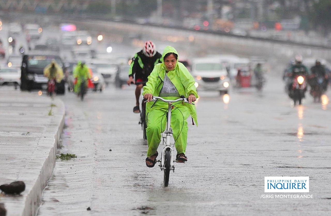
Inquirer file photo
MANILA, Philippines — As the Philippines braces for possible heavy rainfall from the anticipated La Niña weather phenomenon, weather experts are monitoring the current transition period from El Niño amid the first storm to hit the country this year.
Weather specialist Joey Figuracion of the Philippine Atmospheric, Geophysical and Astronomical Services Administration (Pagasa) said that despite the arrival of Typhoon “Aghon” (international name: Ewiniar) over the weekend, the criteria had not yet been met to officially declare the start of the rainy season.
READ: Teodoro preps task force amid La Niña watch
“[Rainfall] needs to be continuous [for] the past five days. [At least] it should not be interrupted for three consecutive days,” he said in a phone interview.
He added that “the rainfall should not drop below 1 millimeter (mm) to qualify as having rain on that day. So in the span of five days, there needs to be 5 mm of observed rainfall.”
Article continues after this advertisementREAD: La Niña to whip up more cyclones by end of 2024 – Pagasa expert
Article continues after this advertisementIncrease the probability
“La Niña could increase the probability of experiencing above-normal rainfall,” Figuracion said. “But not necessarily true for the entire country. It might be observed in only select areas like the Visayas, Mindanao or the east side of Luzon.”
On the potential start of the rainy season in the western parts of the country, Figuracion said: “It is likely that if it occurs, it will be triggered by… the northeast monsoon (amihan), rather than the southwest monsoon (habagat). That’s when we will see the continuous rain progress.”
Veronica Torres, also a weather specialist of Pagasa, said there was a “69-percent chance” that La Niña’s “climate pattern” could emerge between July and September.
El Niño is the unusual warming of the ocean surface in the central and eastern tropical Pacific, which could trigger disruptions in the local weather patterns.
During El Niño, winds blowing west along the equator slow down, and warm water is pushed east, creating warmer surface ocean temperatures. The phenomenon occurs on average every two to seven years and can last nine to 12 months, according to the Geneva-based World Meteorological Organization.
La Niña, on the other hand, is a weather phenomenon with the opposite effect of El Niño, wherein trade winds are more potent than usual, pushing more warm water and increased rainfall toward the Asian region, thus raising the risks of floods and landslides in vulnerable areas.
Pagasa, in a bulletin on Monday afternoon, said Aghon was expected to leave the country by Wednesday but may still enhance a southwesterly wind flow that may bring rains to as far as Western Visayas.
Gale or strong air currents with rough seas off northeastern Luzon are expected in the northeastern provinces of Cagayan, Isabela, Aurora and Quezon. —with reports from Russel Loreto and Inquirer Research