El Niño weakens but will keep temperatures high–UN weather agency

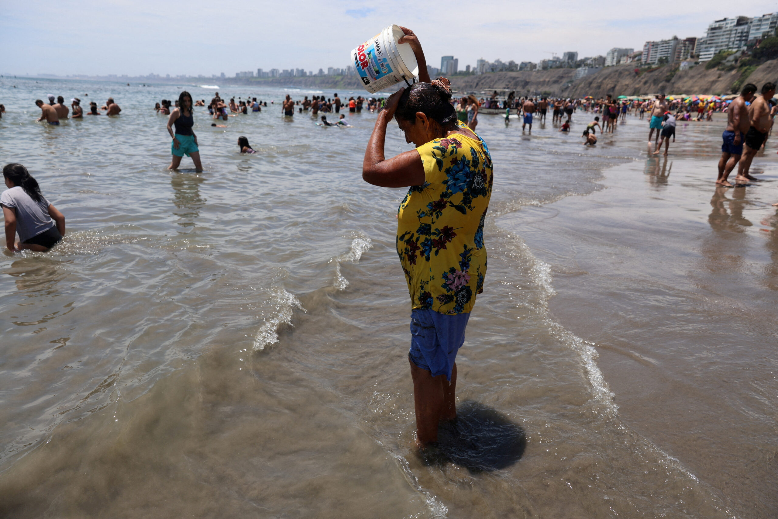
woman pours water on her head as bathers enjoy a summer day due to the high temperatures at Agua Dulce beach in the Chorrillos district in Lima, Peru, February 25, 2024. REUTERS FILE PHOTO
GENEVA — The El Niño weather pattern has begun to weaken but will continue to fuel above average temperatures across the globe, the World Meteorological Organization (WMO) said on Tuesday.
El Niño is a naturally occurring weather phenomenon associated with a disruption of wind patterns that means warmer ocean surface temperatures in the eastern and central Pacific.
El Niño, which occurs on average every two to seven years, typically lasts nine to 12 months and can provoke extreme weather phenomena such as wildfires, tropical cyclones and prolonged droughts.
READ: Gov’t to use various ways to address El Niño impacts in PH – Marcos
WMO spokesperson Claire Nullis said El Niño had peaked in December and would go down as one of the five strongest in history.
“It’s now gradually weakening, but obviously it will continue to impact the global climate in the coming months,” she told reporters in Geneva.
“We do expect above normal temperatures in the coming months, between March and May, and overall in most land areas.”
In separate comments, WMO Secretary-General Celeste Saulo said El Niño had partly contributed to recent temperature records.
“Every month since June 2023 has set a new monthly temperature record – and 2023 was by far the warmest year on record,” Saulo said in a statement.
READ: Farms relying on rainwater already feeling El Niño effects – DA
“El Niño has contributed to these record temperatures, but heat-trapping greenhouse gases are unequivocally the main culprit.”
The WMO said there was about a 60% chance of El Niño persisting from March to May and a 80% chance of neutral conditions, neither El Niño nor La Niña, in April to June.
There is a chance of La Niña – a weather pattern characterized by unusually cold temperatures in the Pacific Ocean – developing later in the year, but the odds remain uncertain, the WMO said.