LPA nearing PH may turn into tropical depression within 24 hrs – Pagasa
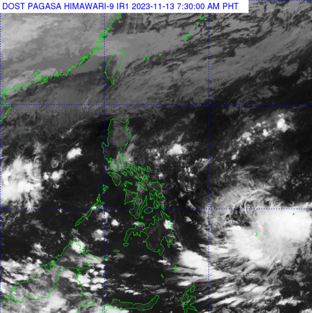
The Philippine Atmospheric, Geophysical, and Astronomical Services Administration says on Monday, November 13, 2023, that the low pressure area approaching the Philippine area of responsibility may develop into a tropical depression within 24 hours. Photo from Pagasa’s website
MANILA, Philippines — A low-pressure area (LPA) approaching the Philippine area of responsibility (PAR) may develop into a tropical depression by Monday or Tuesday, the state weather bureau said.
In its early Monday morning bulletin, the Philippine Atmospheric, Geophysical and Astronomical Services Administration (Pagasa) said the LPA was last spotted 1,400 kilometers east of northeastern Mindanao.
“Malaki ‘yung potential na itong LPA na ito ay maging bagyo posible ngayong araw o bukas, at posible rin na ito ay papasok ng PAR,” said Pagasa weather specialist Obet Badrina.
(This LPA has great potential to become a typhoon today or tomorrow, and it is also possible that it will enter PAR.)
Badrina also said that the possible tropical depression may reach PAR by Wednesday or Thursday although its track may still change. He further said that for now, Pagasa cannot issue specific forecasts on its strength and track until the LPA becomes an actual cyclone.
Article continues after this advertisement“Posible pa rin itong magbago [pagpasok sa PAR ng Miyerkules o Huwebes] at hindi pa rin natin masasabi hanggang saan ‘yung lakas at saan ito pupunta sa ngayon. Hangga’t hindi pa ito nagiging ganap na bagyo hindi pa tayo makapaglalabas ng [forecast] track,” Badrina said.
Article continues after this advertisement(The entry of the potential cyclone is still possible to change and we still can’t say how much the strength is and where it’s going right now. Until it becomes a full storm we can’t put out a [forecast] track yet.)
In the meantime, Pagasa said cloudy skies and rain may occur in different parts of the country on Monday due to the northeast monsoon, shear line, and localized thunderstorms.
The northeast monsoon, locally known as amihan, still affects Cagayan Valley and Apayao and continue to bring overcast skies with rains in the provinces, the state weather agency said.
It will also cause partly cloudy to cloudy skies with isolated light rains over the Ilocos Region, the rest of Central Luzon, and the rest of the Cordillera Administrative Region, it added.
Pagasa likewise said that the shear line, or convergence of cool and warm winds, will bring overcast skies with scattered rain showers and thunderstorms in the Bicol Region, Aurora, Quezon, and Northern Samar.
Metro Manila and the rest of the country, meanwhile, may anticipate partly cloudy to cloudy skies with isolated rain showers or thunderstorms due to both the shear line and localized thunderstorms.
As for the country’s seaboards, Pagasa hoisted a gale warning over the coasts of Batanes, Ilocos Norte, Ilocos Sur, La Union, and Cagayan, including the Babuyan Islands, because of the effects of the northeast monsoon.
It explained that rough to very rough sea conditions with waves measuring 3.5 to 5 meters high are expected in these seaboards.
RELATED STORIES
Partly cloudy to cloudy skies to prevail on Sunday, predicts Pagasa
Ready for the chill? Pagasa says ‘amihan’ begins