
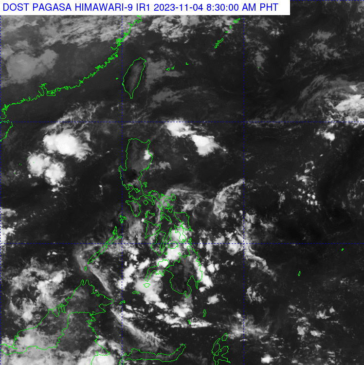
A shear line affecting North Luzon and the cloud clusters east of the country as seen on the November 4, 2023 satellite image of the Philippines. (Photo from Pagasa)
MANILA, Philippines — The Philippine Atmospheric, Geophysical and Astronomical Services Administration (Pagasa) is monitoring cloud clusters east of the Philippines this Saturday.
According to the weather bureau, these cloud clusters may develop into a low pressure area in the next hours or days, but has a slim chance of becoming a tropical depression.
“Habang lalapit itong cloud clusters, na posible ngang maging low pressure area sa mga susunod na araw, sa ating kalupaan, ay tuluyan nga rin itong malulusaw. Kaya mababa naman yung tyansa na maging bagyo ito sa mga susunod na araw,” weather specialist Daniel James Villamil reported.
(These cloud clusters, which may become a low pressure area in the next few days, will move closer to the country, but it will also dissipate. So its chance of becoming a typhoon in the next few days is low.)
READ: Pagasa: Scattered showers expected as thunderstorms approach
READ: Pagasa: LPA dissipates, rain to persist in PH
Villamil said the cloud clusters will bring scattered rains and thunderstorms in some areas of Visayas and Mindanao, particularly in Eastern Visayas and Caraga.
Meanwhile, Pagasa noted that the shear line continuously affects Northern Luzon. Cloudy skies with scattered rain showers and thunderstorms are expected in Batanes and Cagayan, including Babuyan Islands.
On the other hand, although isolated rain showers may occur due to localized thunderstorms, Villamil said that the rest of the country may expect better weather.
No gale warning was raised over the country’s seaboards, but Pagasa advised sailors in Northern Luzon to take precautionary measures as moderate to strong wind and coastal water condition was forecast in the area.