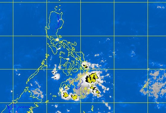
MTSAT ENHANCED IR Satellite Image for 4:32 a.m., 30 April 2012
Luzon is expected to continue to swelter in the summer heat in the coming days, while southern Mindanao will find some relief, thanks to a low pressure area that has formed off the coast of Davao.
Jori Loiz, a forecaster at the Philippine Atmospheric Geophysical and Astronomical Services Administration (Pagasa), said the low pressure area will bring rains over the Davao, Zamboanga and Palawan areas in the next few days.
Loiz noted that the low pressure area had intensified but it would not turn into a tropical depression as it could weaken once it hits the land mass. “Expect widespread rains in eastern and southern Mindanao,” he said.
The weather disturbance will not affect Luzon, including Metro Manila, which is dominated by a ridge of high pressure area. This weather system is responsible for that summer feeling—low humidity, clear skies and warm weather. “We can see this over Luzon until Wednesday,” Loiz said.
He noted that the blistering temperatures in the city, which reached a high of 36.4 degrees Celsius on Friday—the highest so far this year—would be sustained in the next few days. “It could even reach 37 degrees Celsius,” he said.
Temperatures in the metropolis peaked at 36.3 degrees Celsius Sunday. The highest temperature recorded in the country on Sunday was in Tuguegarao City at 37.4 degrees Celsius. Kristine L. Alave