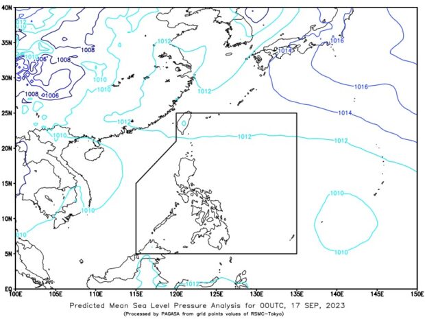
Effects of the southwest monsoon, locally known as habagat, slightly weakened in many parts of the Philippines but Mindanao is expected to experience rain on Sunday, September 17, 2023, due to the intertropical convergence zone (ITCZ), according to the state weather agency. Photo from Pagasa’s website
MANILA, Philippines — Effects of the southwest monsoon, locally known as habagat, slightly weakened in many parts of the country but Mindanao is expected to experience rain on Sunday due to the intertropical convergence zone (ITCZ).
This was according to the Philippine Atmospheric, Geophysical and Astronomical Services Administration (Pagasa), noting the presence of thick clouds over the southern portion of the country.
State weather specialist Daniel James Villamil said cloudy skies with scattered rain showers and thunderstorms may occur in Mindanao within the next few hours.
“Bahagyang humina ang epekto ng habagat sa malaking bahagi ng ating bansa subalit makikita natin sa latest satellite images ang mga kaulapan sa southern portion ng ating bansa, partikular na sa Mindanao area,” Villamil said.
(The effect of the monsoon has slightly weakened over a large part of our country but we can see in the latest satellite images the clouds in the southern portion of our country, particularly in the Mindanao area.)
READ: Southwest monsoon continues to move away from PH
“Ang mga kaulapan na ito ay associated sa ITCZ, ito ay ang pagsasalubong ng hangin mula sa northern at southern hemisphere,” he added.
(These clouds are associated with the ITCZ, which is the meeting of air from the northern and southern hemispheres.)
READ: LPA to exit PAR in next 24 hours but habagat may still bring rain
Metro Manila and the rest of the country, meanwhile, will have generally fair weather despite chances of isolated rain showers and localized thunderstorms.
Villamil likewise reported Sunday that Pagasa is not seeing any low pressure area or bad weather inside or outside the Philippine area of responsibility.
Pagasa is not also raising any gale warning over the country’s seaboards, he added.