‘Maritime zones bill can be basis for updated PH map’
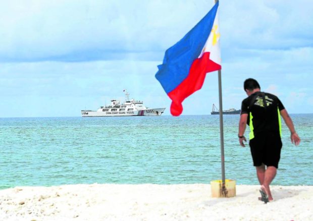
A member of the Philippine Navy plants a Philippine flag on Sandy Cay during a visit on June 26, 2022. A Bloomberg report says China is reclaiming land at this sandbar near Pag-asa Island and at three other maritime features in the South China Sea. (MARIANNE BERMUDEZ / INQUIRER)
MANILA, Philippines — Senator Francis Tolentino on Thursday said once the proposed measure on maritime zones has been approved, it could be the basis for an updated Philippine map that would counter China’s 10-dash line claims.
In an ambush interview following a Senate hearing by the special panel on maritime and admiralty zones, Tolentino was asked whether the proposed law on maritime zones could be the basis of creating an updated Philippine map.
“[That is] correct. Including the waters, most especially the waters surrounding the Philippines,” Tolentino said.
Tolentino added that there are now 132 countries who have implemented their own maritime zones law.
“Tayo wala pa. So kailangang gawin na natin ito,” he added.
(We don’t have one yet. So we have to do it)
Tolentino, in his measure – Senate Bill No. 2294 – stated that the Maritime Zones bill’s primary objective is to declare the Philippines’ maritime zones based on the standards set by the United Nations Convention on the Law of the Sea.
It also seeks to clarify the geographical extent of the Philippine maritime domain, and at the same time, clarify the legal powers that the Philippines may exercise over.
The initiative is amid China’s territorial claims over nearly the entire South China Sea, including the West Philippine Sea which is well within the Philippines’ exclusive economic zone.
China’s newly-released standard map now asserts, through a 10-dash line, that its territory extends through Taiwan and India’s northeastern state of Arunachal Pradesh and Aksai Chin region.
Earlier, Tolentino likewise bared that the Senate panel on maritime admiralty zones is trying to craft a map in response to China’s ten dash line.
RELATED STORIES:
Passage of Maritime Zones Act a priority in Senate — Zubiri
Senate panel to craft PH map in response to China’s 10-dash line
gsg
For comprehensive coverage, in-depth analysis, visit our special page for West Philippine Sea updates. Stay informed with articles, videos, and expert opinions.