
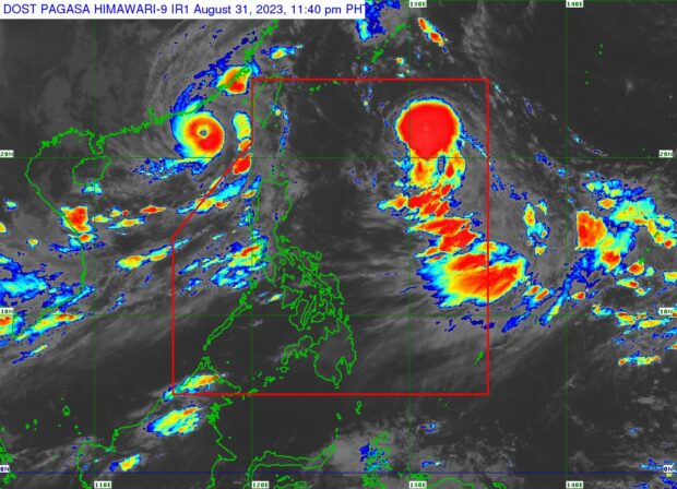
PHOTO: Severe Tropical Storm Hanna was last seen 950 kilometers east of extreme northern Luzon, says Pagasa. (Photo from Pagasa)
MANILA, Philippines — Severe Tropical Storm Hanna (international name: Haikui) is still moving west-northwestward over the Philippine sea and is on track to exit the country on Saturday, September 2, said the state weather bureau.
In its 11 p.m. bulletin issued Thursday, the Philippine Atmospheric, Geophysical and Astronomical Services Administration (Pagasa) said Hanna was last seen 950 kilometers east of Extreme Northern Luzon.
It has maximum sustained winds of 110 kilometers per hour (kph), gustiness of up to 135 kph, and is moving west northwestward at 20 kph.
“Hanna is forecast to accelerate west northwestward and exit the Philippine Area of Responsibility (PAR) on Saturday (September 2) morning or afternoon. [It] is forecast to continue intensifying and may be upgraded to typhoon category tomorrow (September 1). It may also reach its peak intensity by Saturday,” said Pagasa.
According to the state weather bureau, Hanna is less likely to bring heavy rainfall over the country. But this weather disturbance, along with Super Typhoon Goring (international name: Saola) which already exited PAR, will continue to enhance the southwest monsoon.
This enhanced monsoon will then dump intermittent rains and trigger windy conditions over the western portion of Luzon — including Metro Manila – until the weekend.
No wind signals were raised due to Hanna.