El Niño effects may last till early 2024 – Pagasa
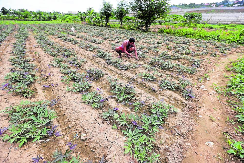
VULNERABLE | Daniel Galicia, 64, tends to his vegetable plot on the bank of Marikina River at Barangay Tumana, Marikina City, on Tuesday. Farmers, whether they are tilling hectares of provincial farms or keeping small urban gardens, have been advised to prepare due to lesser rainfall associated with the prevailing El Niño weather phenomenon. (Photo by GRIG C. MONTEGRANDE / Philippine Daily Inquier)
MANILA, Philippines — The Philippine weather bureau issued its first El Niño advisory on Tuesday as the Geneva-based World Meteorological Organization (WMO) warned of surging temperatures across large parts of the world after the weather pattern emerged in the tropical Pacific for the first time in seven years.
“This is it. We are now really sure [that El Niño is here] because we are certain about the warming of ocean surfaces. We are not seeing any scenario where this would not affect us,” Esperanza Cayanan, deputy director of the Philippine Atmospheric, Geophysical and Astronomical Services Administration (Pagasa), said in a press conference.
She warned the public on the phenomenon’s possible effects on the weather and on the country’s water resources until the first quarter of next year.
Ana Liza Solis, Pagasa chief of climate monitoring, said an El Niño advisory should prompt the government and the people to prepare for the weather phenomenon’s slow-onset impacts in the next six months, particularly dry spells (periods of dry days) and droughts.
El Niño is the unusual warming of the ocean surface in the central and eastern tropical Pacific, which could trigger disruptions in the local weather patterns.
Article continues after this advertisementDuring El Niño, winds blowing west along the equator slow down, and warm water is pushed east, creating warmer surface ocean temperatures. The phenomenon occurs on average every two to seven years, and can last nine to 12 months, according to the WMO.
Article continues after this advertisementBased on the models generated by Pagasa, El Niño will persist from July 2023 to January 2024.
While it is still “weak” at the moment, “there are models showing a high probability of more than 56 percent that El Niño may become moderate to strong at least during the last quarter of the year,” Solis said.
Areas affected
According to Pagasa’s rainfall models, the country will not see a reduction in rainfall volume, at least for July to September.
But by the end of December, the weather bureau predicts that 36 provinces “will potentially experience dry spells” or below normal rainfall conditions for three consecutive months.
These areas are mostly in the Ilocos, Cagayan Valley, Central Luzon, Calabarzon (Cavite, Laguna, Batangas, Rizal, Quezon) and Mimaropa (Mindoro, Marinduque, Romblon, Palawan) regions, and Metro Manila and the Spratly Islands, all in Luzon; and the provinces of Antique, Guimaras, Iloilo, and Leyte in the Visayas.
In Mindanao, the provinces of Agusan del Norte, Dinagat Islands, Surigao del Norte, and Surigao del Sur may also experience dry spells at the end of October, Solis said.
Two provinces — Camarines Norte and Southern Leyte — may experience droughts, or below-normal rainfall conditions for five consecutive months, she added.
By the end of January next year, most of Luzon, save for Cagayan and Cavite, may experience drought while most of Western Visayas, Zamboanga Peninsula, and Northern Mindanao regions may experience dry spells.
Such predictions, Solis said, are based on recent conditions in the Pacific so “uncertainty is high,” but the bureau assured that it would update the models when more relevant data come in.
Between now and December, Solis said Pagasa was expecting at least 10 to 14 tropical cyclones to affect the country.
Cayanan urged the public to brace primarily for lesser rains during El Niño, which could impact the country’s water supply and affect areas that are dependent on hydrological energy.
Higher temperatures and extreme weather events are also more likely during this period, which could escalate risk of infectious diseases, floods, and droughts.
Cayanan, however, assured the public that the government had already established a team “to mitigate these impacts.”
Hottest year
The world’s hottest year on record, 2016, coincided with a strong El Niño—though experts say climate change has fueled extreme temperatures even in years without the phenomenon.
Even that record could soon be broken, according to the WMO.
The organization said in May that there was a strong likelihood that at least one of the next five years, and the five-year period as a whole, would be the warmest on record due to El Niño and anthropogenic (caused by people) global warming.
“To tell you whether it will be this year or next year is difficult,” Wilfran Moufouma Okia, head of the regional climate prediction service at WMO, told reporters in Geneva. “What we know is that throughout the next five years, we are likely to have one of the warmest years on record.”
The World Health Organization said last month it was preparing for an increased spread of viral diseases such as dengue, Zika, and chikungunya linked to El Niño.
“We can reasonably expect even an increase in infectious diseases because of the temperature,” Maria Neira, Director for Environment, Climate Change, and Health at WHO, told reporters.