


Guam braces for direct hit from Typhoon Mawar
The aircraft carrier USS Theodore Roosevelt is docked at Naval Base Guam in Apra Harbor on April 10, 2020. Typhoon Mawar was heading for Guam on Wednesday. (Photo by Tony AZIOS / AFP)
LOS ANGELES, United States – Typhoon Mawar, packing potentially catastrophic winds, was heading Wednesday for a direct hit on Guam, a US territory in the Pacific that is a crucial American military outpost.
A National Weather Service (NWS) report said Mawar’s top winds had weakened slightly but remained a dangerous Category Four typhoon with maximum sustained winds of 140 miles (225 kilometers) per hour, and gusts up to 175 mph at landfall.
“I am worried for the safety of our people. This is the first storm of this magnitude for 20 years,” Governor Lou Leon Guerrero said.
Typhoon Mawar dropped from super typhoon status when its sustained winds fell below 150 mph but the NWS in Guam reported that the typhoon “may strengthen slightly on approach to Guam.”
On its current trajectory, Mawar will smash into the island of 170,000 people, unleashing torrential rains and extreme flooding.
As of 8:00 am Wednesday Guam time (2200 GMT Tuesday), the storm was 75 miles southeast of Guam, the NWS said in an advisory. Maximum winds on the island were expected at around 5:00 pm local time, it said.
“Passage very near or directly over Guam is imminent,” the forecaster said.
Authorities ordered the evacuation of low-lying coastal areas, especially in flood-prone southern villages.
“The triple threats of Super Typhoon Mawar are torrential rains that may result in landslides and flash flooding, catastrophic wind, and life-threatening storm surge,” it said.
Winds could gust up to 175 mph near the eye wall, bringing major damage to buildings and homes made of light materials, such as non-concrete roofs and walls that are not made of reinforced concrete.
A calamitous storm surge threatens to wreak havoc on shorelines, and large boats “could be torn from moorings.”
“Storm surge of six to 10 feet (2-3 meters) above the normal high tide is likely. Surge could possibly reach to between 20 and 25 feet above normal high tide if the worst scenario of a southern Guam or just south of Guam eye passage occurs,” the NWS statement said.
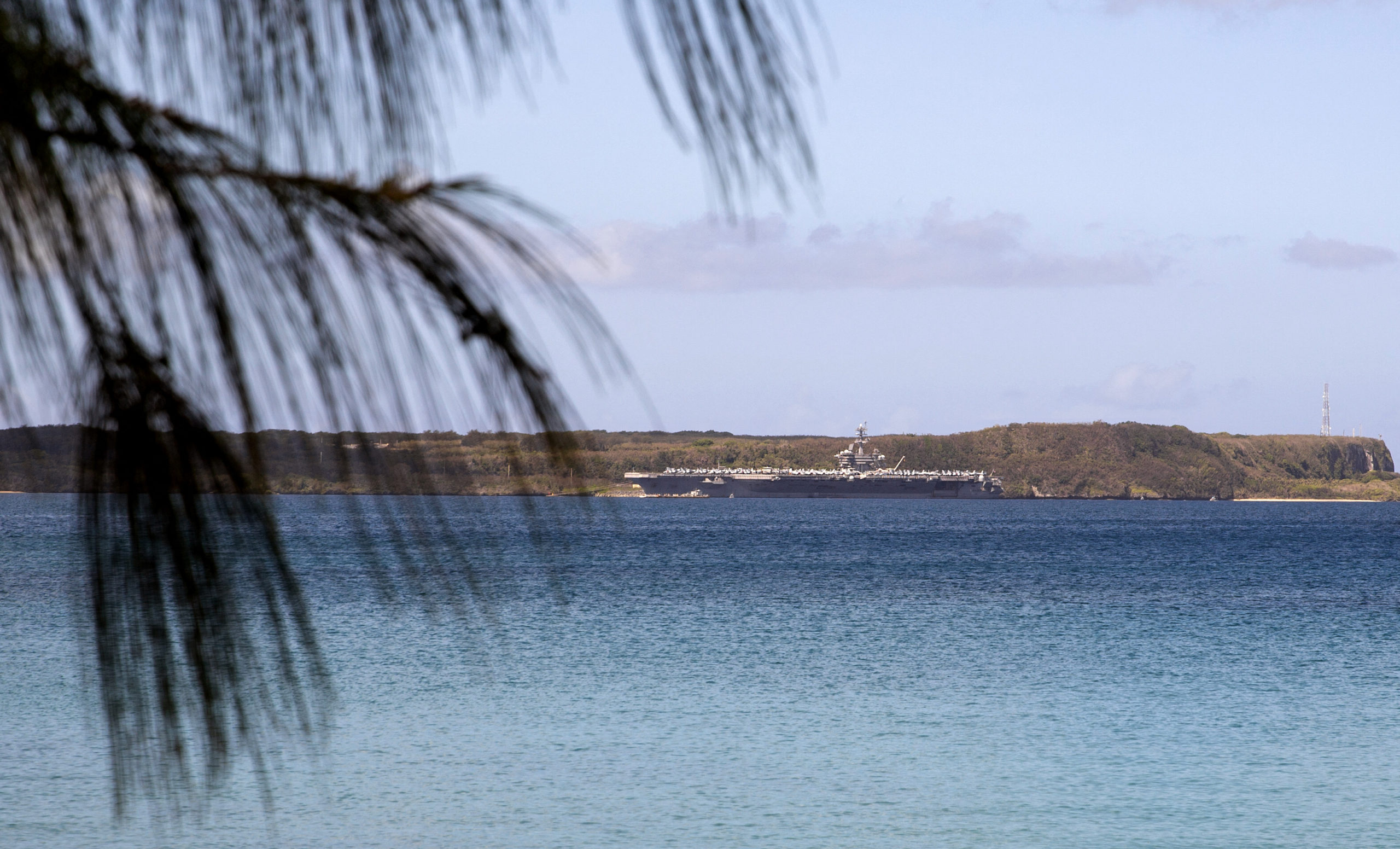
Some 21,700 US military personnel and their families are based at or near several facilities on Guam, which routinely hosts nuclear attack submarines, long-range bombers and is home to crucial electronic listening posts.
The US bases also host some of the Pacific region’s most significant ammunition and fuel storage facilities.
Forecasts predict Guam will receive rainfall of 10 to 15 inches, with some areas experiencing 20 inches or more, the NWS said.
These in turn could trigger landslides in the central and southern parts of the island, the weather service warned.
READ:
Super Typhoon Mawar may enter PAR on Friday night
Palace: Gov’t monitoring Super Typhoon Mawar, contingency measures in place


