


Mawar still outside PH, but now a supertyphoon
THREAT TO PH | Typhoon Mawar moves northward as it bears down on the US territory of Guam. (Photo from the Pagasa website)
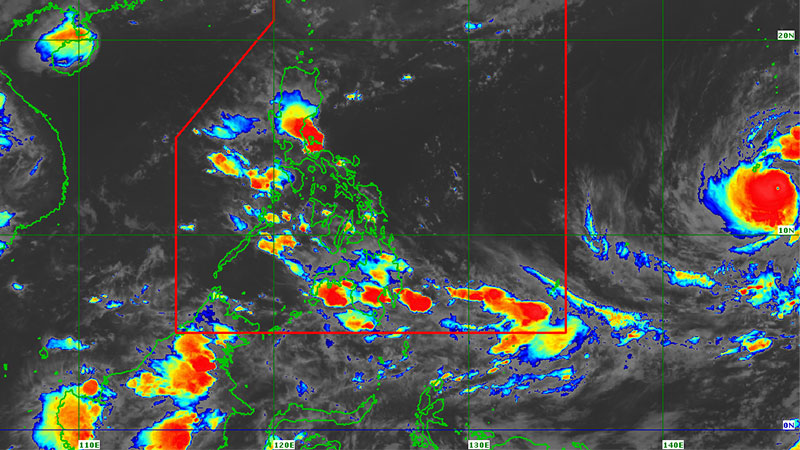
MANILA, Philippines — Typhoon Mawar has strengthened into a supertyphoon, although it remains outside the Philippine area of responsibility (PAR) as of 2 p.m. on Tuesday, with maximum sustained winds of 185 kilometers per hour and moving northward at 15 km.
While it has yet to directly affect the country, Mawar may enter PAR by Friday or Saturday, according to the Philippine Atmospheric, Geophysical and Astronomical Services Administration (Pagasa).
Despite the low chance of the supertyphoon making landfall in any part of the country, Pagasa said it would continue to monitor its movement. At a Palace briefing, Social Welfare Secretary Rex Gatchalian said that relief goods had been prepositioned in areas that could be affected by Mawar.
“So what we have done is we have augmented the stockpiling of food packs up north,” he said, referring to the Ilocos and Cagayan Valley regions.
“So the food packs will be there and then our field offices are now tasked to work with the local governments,” Gatchalian said, as he also assured the public that the Department of Social Welfare and Development has enough funds to respond to the typhoon’s possible impact.
Brace, get ready
“The Quick Response Fund of the national government will kick in. Remember, in our Quick Response Fund, part of that is preparedness, making sure that we are ready even before the storms come in,” he said.
Interior Secretary Benhur Abalos, on the other hand, directed local governments to carry out proactive and preventive measures should Mawar make landfall to ensure zero casualties.
“With the advisories given by Pagasa that Mawar will most likely be a supertyphoon, we need to brace ourselves and get ready to avoid casualties and other damage expected to be brought about by this potential weather disturbance,” he said in a statement.
In an advisory, the Department of the Interior and Local Government (DILG) instructed local governments, especially those in areas with recent experience of extended or prolonged rain occurrences and/or landslides or floods, to continue to monitor all Pagasa weather advisories and typhoon bulletins.
They were also ordered to use HazardHunterPH—the country’s one-stop shop for hazard assessment developed by the Department of Science and Technology—to generate indicative hazard assessment reports on their respective areas.
Conduct risk assessments
Local Disaster Risk Reduction and Management Offices were likewise told to convene and conduct predisaster risk assessments for floods, flash floods, rain-induced landslides, debris flow and strong winds. Communities must be continuously informed and advised of situation updates and preparations, the DILG advisory said.
It added that areas showing signs of landslides, such as tension cracks, seepages and areas underlain by old landslide deposits, quarry and mining areas must also be monitored. Waterways such as canals and drainage systems should also be cleared.


