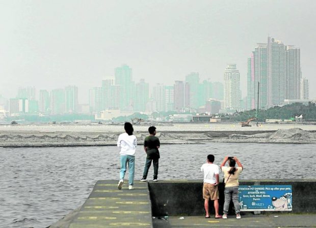
File photo of the Manila Bay. (Taken by RICHARD A. REYES)
MANILA, Philippines — No tropical cyclones are seen to form and enter the Philippine Area of Responsibility (PAR) in the next three days.
But chances of isolated thunderstorms are still expected, the state weather bureau said on Wednesday.
“Sa ating weather outlook, sa susunod na tatlong araw ay wala pa din tayong inaasahan na mabubuong low pressure o bagyo sa loob ng PAR,” said Aldczar Aurelio, weather specialist of the Philippine Atmospheric, Geophysical and Astronomical Services Administration (Pagasa).
(In our weather outlook for the next three days, we don’t see any low-pressure areas and tropical cyclones inside PAR.)
“Pero may tiyansa pa din ng pag-ulan sa hapon o gabi dulot ng localized thunderstorms,” Aurelio added.
(But there are still chances of rains in the afternoon and night due to localized thunderstorms.)
On Thursday, the country will expect fair weather with partly cloudy to cloudy skies with isolated rain showers and thunderstorms.
Pagasa did not also raise a gale warning in any seaboards nationwide for Thursday.
Extreme caution, danger: Heat indices of 35-44°C to hit PH, says Pagasa