Trough of LPA brings overcast skies, rains in parts of Mindanao
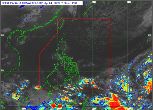
Pagasa satellite image shows thin cloud bands in most parts of the country (Photo from Pagasa)
MANILA, Philippines — The trough of a new low pressure area (LPA) outside the Philippine Area of Responsibility (PAR) may bring overcast skies and rain showers in some parts of Mindanao, while the rest of the country is seen to have a fair Tuesday weather, the state weather bureau said.
The LPA was last located 1,970 kilometers east of Mindanao, according to Obet Badrina, weather specialist of Philippine Atmospheric, Geophysical and Astronomical Services Administration (Pagasa).
Badrina said this LPA was different from Monday’s LPA off General Santos City, which already dissipated.
The trough of the new LPA is seen to bring cloudy skies with scattered rain showers and thunderstorms to Davao Region, Soccsksargen (South Cotabato, Cotabato, Sultan Kudarat, Sarangani, and General Santos City), and BARMM (Bangsamoro Autonomous Region in Muslim Mindanao), said Badrina.
“Sa mga lugar na ito inaasahan natin na mas malaki ang tiyansa ng maulap na kalangitan ngayong araw na may malaking posibilidad din ng mga pag-ulan,” Badrina said in a public weather forecast.
Article continues after this advertisement(In these areas we expect a bigger possibility of cloudy skies with a high chance of rains.)
Article continues after this advertisementThe weather forecaster said the LPA has a low chance of becoming a typhoon and may enter the PAR in the following days.
“Itong low pressure area na ito, nakikita natin, posibleng pumasok ng Philippine Area of Responsibility, hindi naaalis ang posibilidad within the next couple of days, possible bandang weekend pa,” he said.
(This low pressure area, as we can see, may enter the Philippine Area of Responsibility but within the next couple of days, possibly weekend.)
“Sa ngayon naman, in the next three days medyo maliit pa naman ang tiyansa na ito (LPA) ay maging bagyo,” he added.
(But as of present, in the next three days, this LPA has a slightly low chance of becoming a tropical cyclone.)
Meanwhile, he also said that while the rest of the country may see generally fair weather, rainfall is still possible due to isolated thunderstorms.
“Samantala, makikita ninyo na wala masyadong kaulapan dito sa may Luzon, Visayas at nalalabing bahagi ng Mindanao pero possible pa din yung isolated o pulo-pulong pag-ulan pagkidlat pagkulog,” he said.
(Meanwhile, as you can see there are thin cloud bands in Luzon, Visayas and the rest of the country, but isolated rain showers and thunderstorms are still possible.)
Pagasa did not raise a gale warning in any seaboards nationwide.