


New Year’s Day weather: LPA’s trough may bring rain in parts of Visayas, Mindanao
MANILA, Philippines – The trough or extension of the low pressure area (LPA) outside the Philippine Area of Responsibility (PAR) may trigger rain shower in most parts of Visayas and Mindanao to kick off the new year on Sunday, said the state weather bureau.
The Philippine Atmospheric, Geophysical and Astronomical Services Administration (Pagasa) said the LPA was more than 1,400 kilometers southeast of Mindanao.
“Hindi naman po inaasahan na maging bagyo at magiging stationary po ito so ibig sabihin, mababa iyong chance na ito’y pumasok sa ating PAR. However, iyong trough or iyong extension na tinatawag ay makakaapekto sa malaking bahagi ng Eastern Visayas and Mindanao,” Pagasa weather specialist Benison Estareja said in an early morning forecast.
(We’re not expecting this to progress into a tropical cyclone, and it’s likely to be stationary, which means it has low chances of entering our PAR. However, its trough or the so-called extension will affect a big part of Eastern Visayas and Mindanao.)
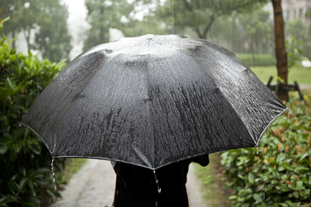
The LPA’s trough will also be bringing overcast skies and isolated rains in Metro Manila and the rest of the country, according to Pagasa.
Meanwhile, Estareja said rain is seen to likewise persist in Cagayan Valley, Apayao, Kalinga, Ifugao, Mountain Province, Aurora and the northern portion of Quezon due to the northeast monsoon, locally known as “amihan.”
The northeast monsoon will also trigger light rain over Ilocos Region, Abra, Benguet and the rest of Central Luzon, he added.
0 to 1 tropical cyclone in January
For the month of January, Estareja said the Philippines can expect 0 to 1 tropical cyclone, which may hit Visayas and Mindanao.
“Mataas ang tsansa na mabubuo ito o pumapasok sa ating area of responsibility dito sa silangan ng Mindanao. Kikilos pa-hilagang kanluran at posibleng mag-landfall dito sa may parteng Caraga o Eastern Visayas at tumagos sa natitira pang bahagi ng Visayas and Southern Luzon,” he said.
(There are high chances that this will form or enter our area of responsibility from east of Mindanao. It will move northwest to Caraga or Eastern Visayas and may affect parts of Visayas and Southern Luzon.)
Estareja noted, however, that there’s also a chance that it may change its course upon entering the PAR and then dissipate.
Meanwhile, Pagasa listed the range of temperature in the following areas on Sunday:
• Metro Manila — 24 to 30 degrees Celsius
• Baguio — 17 to 22 degrees Celsius
• Laoag — 24 to 30 degrees Celsius
• Tuguegarao — 21 to 25 degrees Celsius
• Legazpi — 25 to 31 degrees Celsius
• Puerto Princesa — 25 to 31 degrees Celsius
• Tagaytay — 20 to 28 degrees Celsius
• Kalayaan Islands — 25 to 31 degrees Celsius
• Iloilo — 25 to 31 degrees Celsius
• Cebu — 24 to 31 degrees Celsius
• Tacloban — 24 to 30 degrees Celsius
• Cagayan de Oro — 24 to 30 degrees Celsius
• Zamboanga — 24 to 32 degrees Celsius
• Davao — 24 to 32 degrees Celsius
RELATED STORY:
Pagasa sees no storm threat until yearend; LPA-induced rains expected


