
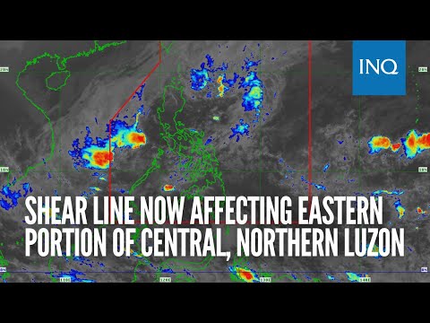
MANILA, Philippines — The shear line east of the country now affects Northern and Central Luzon, weather updates from the Philippine Atmospheric, Geophysical and Astronomical Services Administration (Pagasa) on Friday afternoon showed.
According to Pagasa, the northeast monsoon or amihan also affects the northern provinces of the country, which would translate to lower temperatures over the Cagayan Valley, the Cordillera Administrative Region, and Ilocos Region.
The combined effects of the shear line and the northeast monsoon would cause cloudy skies, thunderstorms and rain showers in the said areas. Pagasa also warned that flash floods may occur over areas affected by the shear line.
For the rest of Luzon and Visayas and Mindanao, fairer weather conditions would continue, except for isolated rains and thunderstorms.
Low temperatures would still persist on Saturday, as Tuguegarao will have something between 20 to 26 degrees Celsius; Laoag with 22 to 30 degrees; Baguio with 15 to 23 degrees; Metro Manila with 23 to 30 degrees; Tagaytay with 20 to 28 degrees; Legazpi with 24 to 30 degrees; and Puerto Princesa with 24 to 31 degrees.
Warmer weather would prevail over Visayas and Mindanao, with Tacloban, Iloilo, and Cagayan de Oro having something between 24 to 30 degrees Celsius; Cebu with 24 to 31 degrees; Zamboanga with 24 to 32 degrees; and Davao with 24 to 33 degrees.
A gale warning is still hoisted over waters surrounding Ilocos Region, Cagayan Valley including Babuyan Islands, and waters east of Aurora. Fisherfolk in these areas are urged to refrain from sailing, as sea conditions may range from rough to very rough.
RELATED STORY:
Rain possible in Luzon due to shear line despite dissipating LPA – Pagasa