
Source: DOST / Pagasa
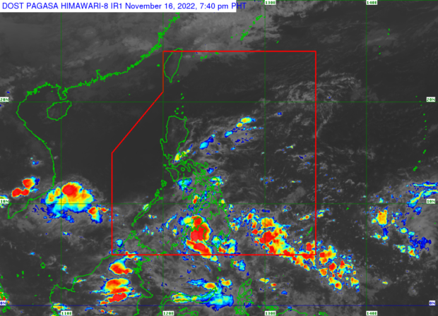
MANILA, Philippines — A low-pressure area (LPA) formed within the intertropical convergence zone (ITCZ) on Wednesday, said the Philippine Atmospheric, Geophysical and Astronomical Services Administration (Pagasa).

According to Pagasa weather specialist Veronica Torres, the LPA was last spotted 445 kilometers East of General Santos City.
“Itong LPA na ito ay nananatiling mababa ang tiyansa na maging bagyo sa susunod na 24 oras,” she said.
(This LPA remains a low chance of becoming a typhoon in the next 24 hours.)
Torres explained that the LPA might either make landfall in the country’s landmass before entirely dissolving or cross and traverse Southern Mindanao.
Meanwhile, on Thursday, a massive chunk of Luzon, specifically Eastern Luzon, will continue to have cloudy weather with rain, while fair weather is expected over Metro Manila with chances of rain due to thunderstorms.
On the other hand, the entire Visayas and Mindanao will experience cloudy skies and scattered rain showers.
No gale warning is currently raised, but moderate to rough seas are expected over the seaboards of Eastern Luzon and Visayas.
The state weather bureau said the temperature range in key cities/areas across the country for Thursday would be:
- Metro Manila: 25 to 33 degrees Celsius
- Baguio City: 17 to 26 degrees Celsius
- Laoag City: 24 to 32 degrees Celsius
- Tuguegarao: 25 to 33 degrees Celsius
- Legazpi City: 25 to 30 degrees Celsius
- Puerto Princesa City: 26 to 32 degrees Celsius
- Tagaytay: 23 to 31 degrees Celsius
- Kalayaan Islands: 26 to 33 degrees Celsius
- Iloilo City: 27 to 32 degrees Celsius
- Cebu: 25 to 30 degrees Celsius
- Tacloban City: 26 to 31 degrees Celsius
- Cagayan De Oro City: 25 to 31 degrees Celsius
- Zamboanga City: 25 to 33 degrees Celsius
- Davao City: 26 to 32 degrees Celsius
RELATED STORY:
Rainy Wednesday in parts of PH due to shear line, ITCZ