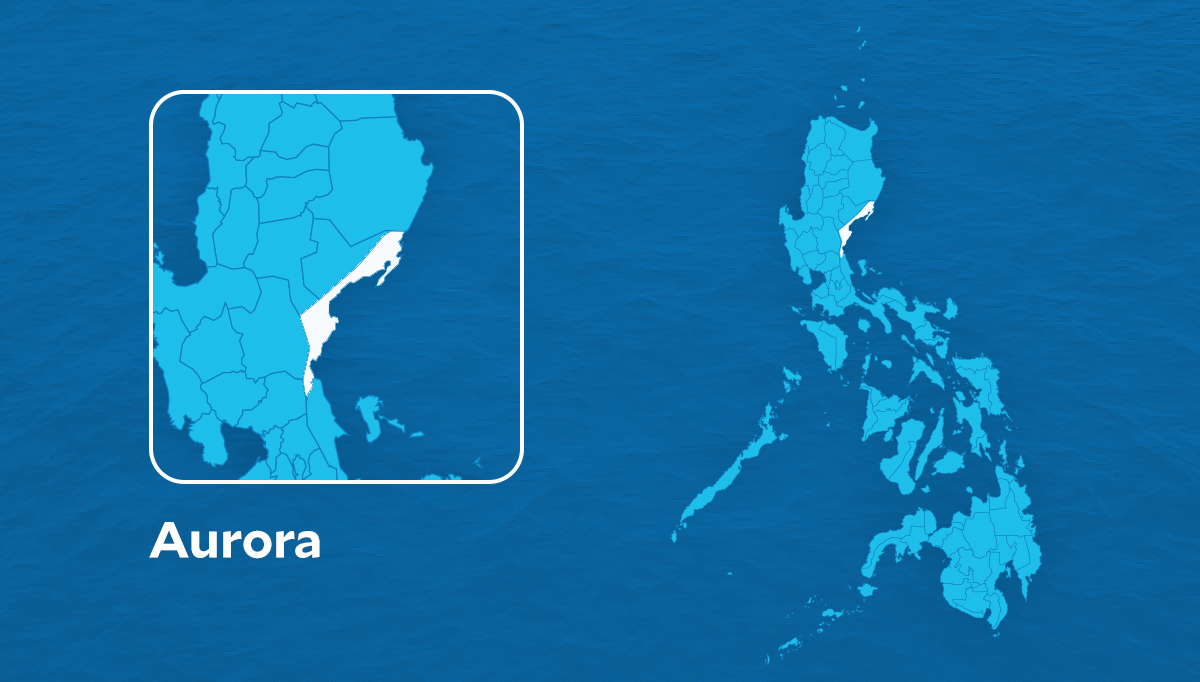
MANILA, Philippines — Tropical Depression Maymay continues to drift towards Central Luzon slowly but is expected to accelerate and make landfall in Aurora by Thursday morning, according to the Philippine Atmospheric Geophysical and Astronomical Administration (Pagasa).
Maymay was last located 320 km east of Baler, Aurora with maximum sustained winds of 45 kph and gustiness of up to 55 kph.
“[It] is forecast to move slowly westward or remain almost stationary in the next 12 hours before it gradually accelerates westward toward Central Luzon,” Pagasa said in its 11 p.m. typhoon bulletin.
“On the forecast track, the center of this tropical cyclone may make landfall in the vicinity of Aurora by Thursday morning. Afterwards, the center of ‘MAYMAY’ will traverse the landmass of Central Luzon,” it added.
It is also forecast to maintain its strength before making landfall, but it may weaken as it traverses over Luzon.
Moderate to heavy with at times intense rains are then forecast over Cagayan and Isabela, with light to moderate and at times heavy rainfall expected over Aurora.
Meanwhile, due to the enhanced northeasterly surface wind flow and the tropical depression, strong to gale-force strength are warned over Batanes, Cagayan including the Babuyan Islands, the Cordillera Administrative Region, and the Ilocos Region in the next 24 hours.
Tropical Wind Signal No. 1 (strong winds prevailing or expected within the next 36 hours) remains raised over the following areas:
- Isabela
- Quirino
- Nueva Vizcaya
- Aurora
- Nueva Ecija
- the extreme northern portion of Quezon including the Polillo Islands
RELATED STORY
Tropical Depression Maymay almost stationary in PH sea — Pagasa


