

MANILA, Philippines – Typhoon Karding (international name: Noru) has intensified while moving closer to the country’s landmass Sunday morning, prompting the state weather bureau to raise Tropical Cyclone Wind Signal (TCWS) No. 3 over 6 areas in Luzon.
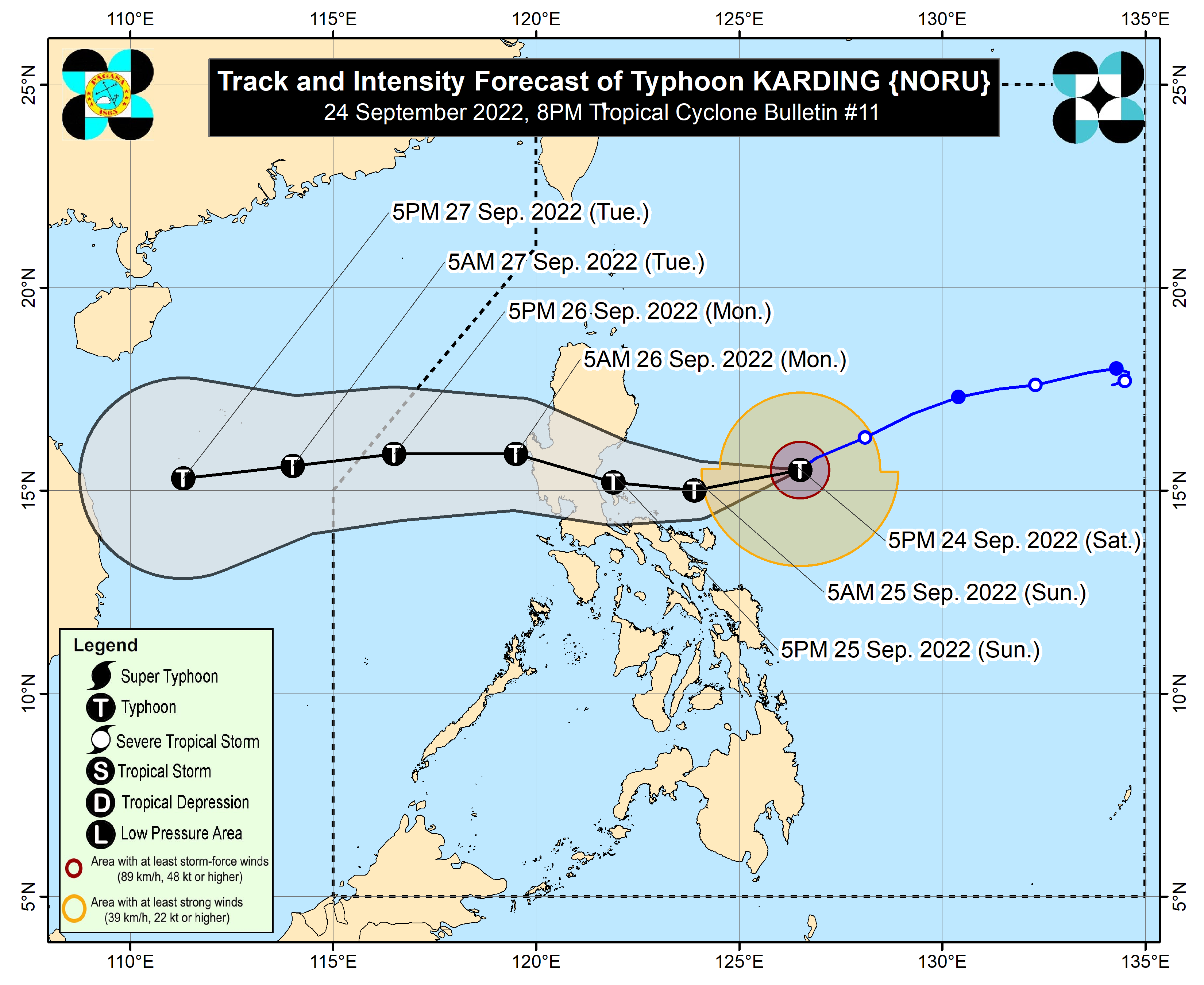
In its early morning typhoon update, the Philippine Atmospheric, Geophysical and Astronomical services Administration (Pagasa) reported that “Karding”, as of 5:00 a.m. was tracked some 285 kilometers east of Infanta, Quezon, with maximum sustained winds of 155 kilometers per hour (kph) near the center and gustiness of up to 190 kph.
It was moving west-southwest at 25 kph.
“Karding is forecast to continue intensifying prior to landfall. A landfall scenario as a super typhoon is increasingly likely. Frictional effects during landfall and traverse of the Luzon landmass will weaken Karding throughout the evening through tomorrow early morning, although it is highly likely that this tropical cyclone will remain a typhoon while crossing the landmass,”Pagasa said.
Heavy rain and strong winds are expected Sunday in Metro Manila, Central Luzon, Calabarzon (Cavite, Laguna, Batangas, Rizal, Quezon), Camarines Norte, Camarines Sur, Catanduanes, Isabela, Quirino and Nueva Vizcaya.
Flash floods and landslides are possible, Pagasa warned.
A rainy and cloudy Sunday is likewise expected in other parts of the country due to the trough or extension of “Karding” and the enhanced southwest monsoon or “habagat,”
TCWS Signal No. 3 is up over the following areas:
- Central and southern portions of Aurora (Dingalan, San Luis, Baler, Maria Aurora, Dipaculao)
- Extreme northern portion of Quezon (General Nakar, Infanta, Real) including Polillo Islands
- Eastern portion of Nueva Ecija (City of Gapan, Bongabon, Gabaldon, Laur, General Tinio, Palayan City, Santa Rosa, Peñaranda, Cabanatuan City, San Leonardo)
- Eastern portion of Bulacan (Norzagaray, Doña Remedios Trinidad, Angat, San Rafael, San Ildefonso, San Miguel)
- Northern portion of Rizal (Rodriguez, Tanay)
- Northern portion of Camarines Norte (Vinzons, Paracale, Jose Panganiban, Capalonga)
Signal No. 2:
- Southern portion of Isabela (Dinapigue, San Guillermo, Echague, San Agustin, Jones)
- Quirino
- Nueva Vizcaya
- Benguet
- La Union
- Pangasinan
- Zambales
- Bataan
- Tarlac
- Pampanga
- Rest of Bulacan
- Rest of Nueva Ecija
- rest of Aurora
- Metro Manila
- Cavite,
- Batangas
- Laguna
- Rest of Rizal,
- Northern and central portions of Quezon (Mauban, Calauag, Perez, Alabat, Quezon, Tagkawayan, Guinayangan, Sampaloc, Lucban, City of Tayabas, Lucena City, Pagbilao, Padre Burgos, Atimonan, Agdangan, Unisan, Plaridel, Gumaca, Lopez, Pitogo, Dolores, Candelaria, Sariaya, Tiaong, San Antonio, Macalelon, General Luna, Catanauan, Buenavista)
- Rest of Camarines Norte
- Northern portion of Camarines Sur (Del Gallego, Ragay, Lupi, Sipocot, Libmanan, Pamplona, Pasacao, San Fernando, Pili, Minalabac, Ocampo, Tigaon, Cabusao, Magarao, Gainza, Canaman, Camaligan, Milaor, Naga City, Bombon, Calabanga, Tinambac, Siruma, Goa, Lagonoy, San Jose, Garchitorena, Presentacion, Caramoan, Sagñay)
- Catanduanes
Signal No. 1:
- Southern portion of Cagayan (Tuao, Solana, Enrile, Tuguegarao City, Iguig, Peñablanca)
- Rest of Isabela
- Southern portion of Apayao (Conner)
- Kalinga
- Abra
- Mountain Province
- Ifugao
- Southern portion of Ilocos Norte (Nueva Era, Badoc, Pinili, Banna, City of Batac, Currimao, Paoay, Marcos)
- Ilocos Sur
- Rest of Quezon
- Northern portion of Occidental Mindoro (Abra de Ilog, Paluan, Mamburao, Santa Cruz) including Lubang Islands
- Northern portion of Oriental Mindoro (Puerto Galera, San Teodoro, Baco, City of Calapan, Naujan, Victoria, Pola, Socorro, Pinamalayan)
- Marinduque
- Rest of Camarines Sur
- Albay
- Sorsogon
- Burias Island
- Ticao Island