Track of Super Typhoon Josie. Image from Pagasa
MANILA, Philippines — Tropical cyclone Josie has now been categorized as a super typhoon after intensifying over sea, as it entered the Philippine area of responsibility (PAR) and went out shortly after, state meteorologists said on Friday midnight.
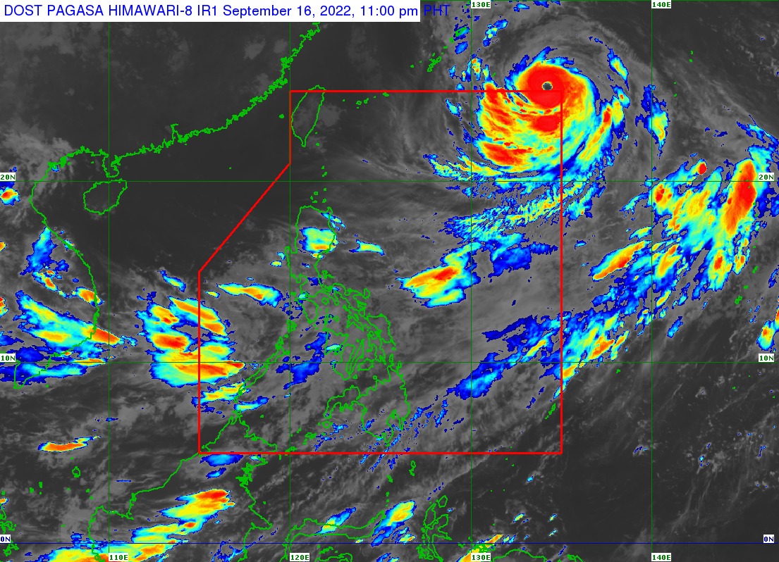
Weather updates from the Philippine Atmospheric, Geophysical and Astronomical Services Administration (Pagasa) showed that Super Typhoon Josie entered the PAR at 5:40 p.m. of Friday afternoon, and then exited at around 10:00 p.m. as a super typhoon.
As of Pagasa’s midnight update, Josie was last seen 1,375 kilometers east northeast of extreme northern Luzon, moving northwest at a speed of 15 kilometers per hour (kph)
It now has maximum sustained winds of 185 kph near the center and gustiness of up to 230 kph. As of now, it is expected to move closer to Japan’s southern islands while keeping its super typhoon strength.
For the Philippines, Pagasa has not raised any tropical cyclone wind signal as Josie had gone out of the PAR already. It is also not expected to have any direct effect on the country.
However, the super typhoon will intensify the southwest monsoon or habagat, which in turn would bring rains over the western portions of Southern Luzon particularly Palawan and the Mindoro islands, and over parts of Western Visayas.
Pagasa also said that in the next 24 hours, occasional gusty conditions ranging between strong breeze to near-gale strength would be experienced in Mimaropa, Visayas, and the Bicol Region still due to the intensified southwest monsoon.