DOST-PAGASA
MANILA, Philippines — The southwest monsoon or habagat will bring rain over parts of the Philippines on Thursday, while Tropical Storm (TS) Nanmadol remains outside the Philippine area of responsibility (PAR), according to the state weather bureau.
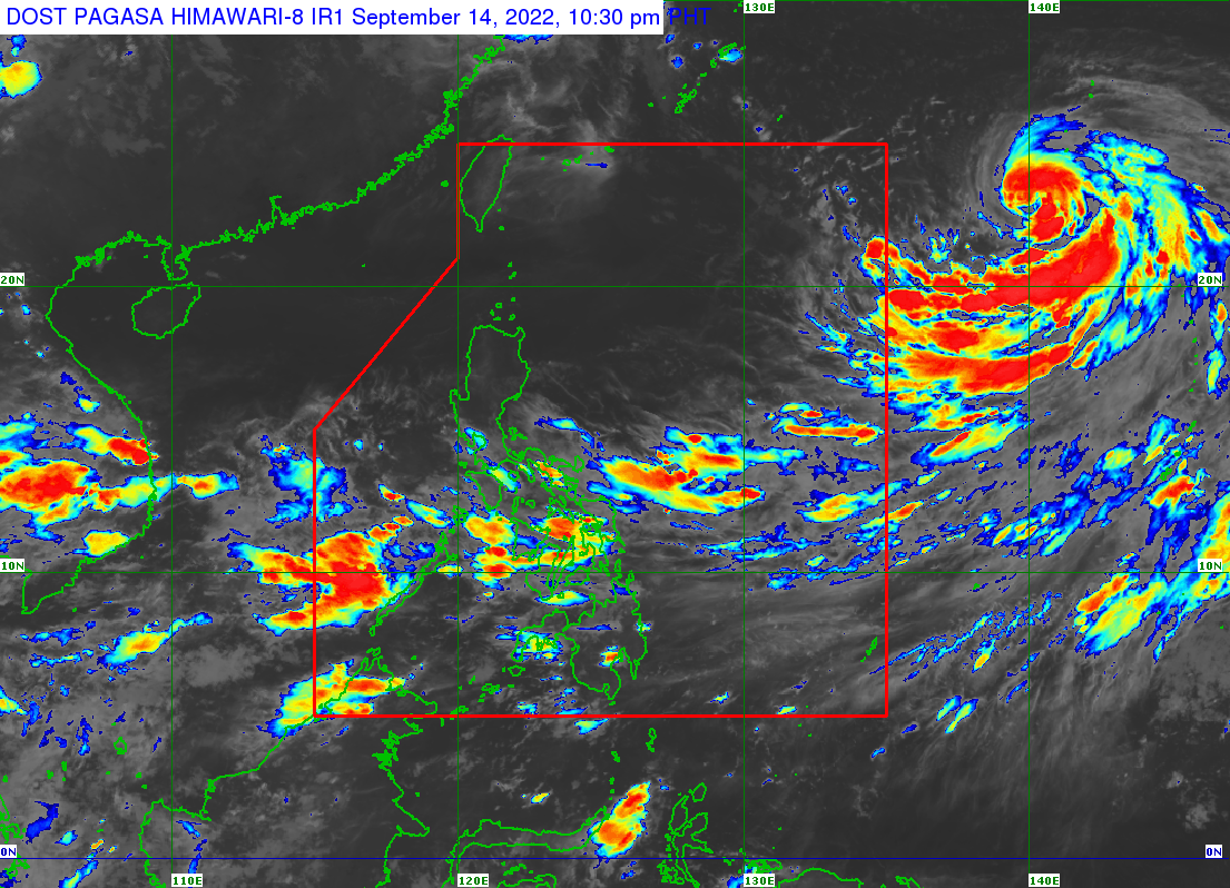
The Philippine Atmospheric, Geophysical and Astronomical Services Administration (Pagasa) said that Zambales, Bataan, Occidental, Mindoro, Palawan, Aklan, and Antique would experience cloudy skies with scattered rain showers and thunderstorms due to the southwest monsoon.
According to Pagasa’s latest bulletin, TS Nanmadol was last spotted 1,945 kilometers east of extreme northern Luzon, with maximum sustained winds of 85 kilometers per hour and gustiness of up to 105 kilometers per hour.
State meteorologists said that TS Nanmadol might enter PAR on Thursday evening or Friday morning. However, it is unlikely to impact the country directly.
Metro Manila and the rest of the country can expect partly cloudy and cloudy skies with isolated rain showers due to the southwest monsoon or localized thunderstorms.
Pagasa said to be cautious of possible flash floods or landslides in areas affected by rainfall. However, Pagasa did not raise any gale warnings but stated that the extreme northern Luzon might experience moderate to rough waves ranging from 1.2 to 3.4 kilometers.
RELATED STORY:
Tropical storm Nanmadol may enter PAR by Thursday evening