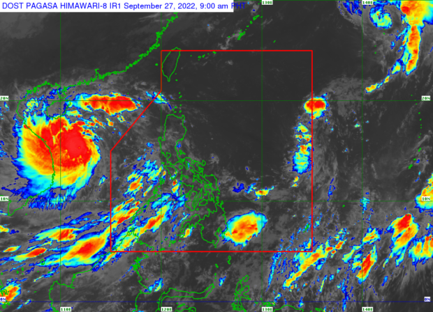
Typhoon Inday to bring rains in Northern Luzon
MANILA, Philippines — The weather bureau on Saturday said it was not ruling out the possibility of hoisting tropical cyclone wind signals over extreme Northern Luzon as Typhoon Inday (International name: Muifa) makes further shift in its westward direction.
Based on data from the Philippine Atmospheric, Geophysical and Astronomical Services Administration (Pagasa), Inday was 395 kilometers east of Itbayat, Batanes, as of the 5 p.m. weather bulletin.
Inday is packing maximum sustained winds of 130 kilometers per hour near the center and gustiness of up to 160 kph.
Currently, the typhoon is moving northwestward at 10 kph.
The typhoon’s trough and the southwest monsoon, or “habagat,” will bring rains in the extreme Northern Luzon area and the western sections of Central and Southern Luzon.
Inday was forecast to “decelerate” northwestward over the Philippine Sea on Saturday until Monday.
It is moving toward the sea east of Taiwan “before turning slowly north-northwestward to northward” on Monday afternoon. Inday may exit the Philippine area of responsibility either by Tuesday afternoon or early Wednesday morning.
—DEMPSEY REYES
RELATED STORY
Inday now a typhoon, may enhance southwest monsoon
