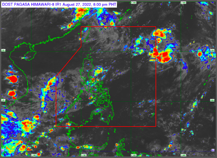
MANILA, Philippines — The low pressure area near Quezon dissolved on Saturday, while another LPA formed near the Kalayaan Islands, the Philippine Atmospheric Geophysical and Astronomical Services Administration (Pagasa) said.
Pagasa said the new LPA is located 225 kilometers east northeast of the Kalayaan Islands.
It is unlikely to become a tropical cyclone and is expected to dissipate soon, according to Pagasa weather specialist Veronica Torres.
“Itong low pressure area na ito ay nananatiling mababa ang tiyansa maging bagyo at maaari ding mag-dissipate,” Torres said in a public weather forecast.
(This low pressure area has a low chance of becoming a typhoon and might soon dissipate.)
“Samantala, yung binabantayan nating kahapon na low pressure area sa silangang bahagi ng ating bansa ay nag-dissipate na,” she added.
(Meanwhile, the low pressure area in the eastern part of the country that we were monitoring yesterday has already dissipated.)
On Sunday, the new LPA is expected to bring cloudy skies with scattered rain showers and thunderstorms in Mimaropa (Mindoro Occidental, Mindoro Oriental, Marinduque, Romblon, and Palawan).
Meanwhile, Metro Manila and the rest of the country will have fair weather with partly cloudy to cloudy skies with isolated rain showers and thunderstorms.
No gale warnings were also raised by Pagasa on any of the country’s seaboards.
