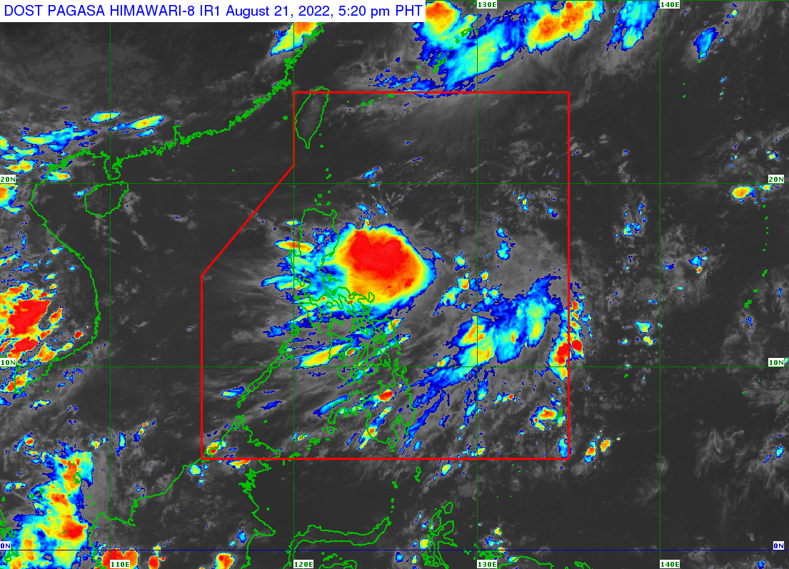
TD Florita slightly intensifies; Signal No. 1 over parts of Aurora, Isabela, Cagayan
MANILA, Philippines — Tropical Cyclone Wind Signal No. 1 was raised over the eastern parts of Northern Luzon on Sunday afternoon, after Tropical Depression Florita slightly intensified, the Philippine Atmospheric Geophysical and Astronomical Administration (Pagasa) said.

Pagasa, in its latest tropical cyclone bulletin, said Florita was last located 540 kilometers (km) east of Tuguegarao City, Cagayan with maximum sustained winds of 55 km per hour (kph) and gustiness of up to 70 kph.
Pagasa said Florita was moving southwestward at 15 kph and may make landfall in the vicinity of Cagayan or the northern portion of Isabela on Tuesday morning or afternoon.
“Florita is forecast to reach tropical storm category tomorrow morning and afternoon and may reach peak intensity of 75 kph prior to making landfall by Tuesday morning or afternoon,” said Pagasa.
With this, wind signal no. 1 (strong winds prevailing or expected within the next 36 hours) is raised over the following areas:
- The Northern portion of Aurora (Dilasag)
- Eastern Portion of Isabela (Dinapigue, Palanan, Divilacan, Maconacon, San Palo, Cabagan,Tumauini, Ilagan City, San Mariano)
- Eastern portion of Cagayan (Peñablanca, Baggao)
Meanwhile, Pagasa warned that Wind Signal No.2 may be raised over localities in the eastern section of Northern Luzon as early as Monday morning.
