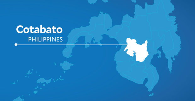
Cotabato map | INQUIRER.net
KIDAPAWAN CITY—Amid persistent torrential rains, government geologists have warned of massive landslides in Cotabato areas hit by earthquakes in 2019.
Leonardo Reovoca, Arakan information officer, said the Mines and Geosciences Bureau (MGB) in Region 12 recently advised residents of the town’s Sumalili village to immediately vacate the area as they are within the danger zone.
Revoca said the MGB found some five hectares of mountain slopes to have collapsed and a crater formed.
The slide has buried a spring where villagers used to fetch drinking water.
The crater, Reovoca added, is a catch basin for the rainwater and could likely lead to a slide soon that could bury a village neighborhood where 21 Manobo families live.
The Arakan local government had held dialogues with the affected community, and the families have agreed to relocate to a one-hectare property intended as their permanent settlement.
The families were reluctant, at first, to relocate as they would leave behind their farms of high-value vegetables. Reovoca said the families could still plant the same crops in their new community.
“They can continue earning from crop farming, but this time, without the fear of being buried (by a landslide),” Reovoca said.
The MGB recorded massive land movements in 2020 after the earthquakes that hit Cotabato in 2019 damaged many structures in the towns of Tulunan, Makilala, and Arakan and in Kidapawan City.
Reovoca said geologists also warned of a possible landslide on a portion of the national highway between Sumalili and the Kulaman Valley area.
RELATED STORIES
https://newsinfo.inquirer.net/1611449/flood-hit-cotabato-town-under-state-of-calamity
lzb

