‘Domeng’ intensifies but unlikely to make landfall
“Domeng” further intensifies as it moves northward over the Philippine Sea | PAGASA
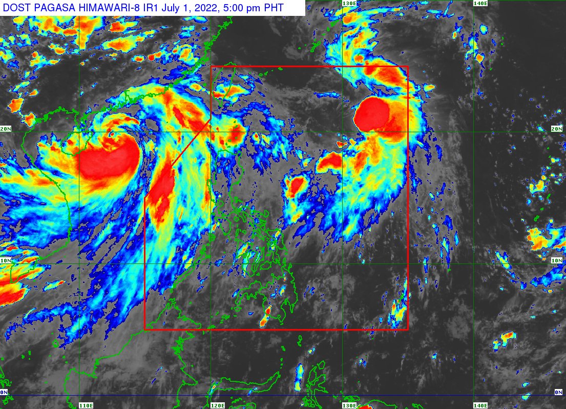
Tropical Depression “Domeng” has intensified into a tropical storm although it is not expected to make landfall in any part of the country, the state weather bureau said on Friday.
In its 5 p.m. weather bulletin, the Philippine Atmospheric, Geophysical and Astronomical Services Administration (Pagasa) said the center or eye of Domeng was at 815 kilometers west of northern Luzon, based on all available data.
Domeng was also moving northward at 15 km per hour while packing winds of 75 kph near the center and gustiness of up to 90 kph.
The weather bureau warned that the southwest monsoon, locally known as “habagat,” will be enhanced by Domeng and the Severe Tropical Storm “Chaba”—formerly named “Caloy”—before exiting the Philippine area of responsibility (PAR).
These movements, Pagasa said, would “continue affecting” the western sections of Central and Southern Luzon.
The monsoon rain were forecast over the Kalayaan Island Group in the West Philippine Sea while cloudy skies with scattered rain showers and thunderstorms are expected in Metro Manila and the rest of Luzon.
As for the Visayas and Mindanao, localized thunderstorms will affect these regions bringing partly cloudy to cloudy skies with isolated rain showers or thunderstorms, based on Pagasa’s weather bulletin.
Pagasa also noted in its bulletin that Domeng will “gradually accelerate” northward or north-northeastward from Friday night until Saturday morning, as it is expected to exit PAR by Saturday.
Domeng was also forecast to pass “very close” or over the Ryukyu Islands, a chain of Japanese southernmost islands that stretch southwest from Kyushu all the way to Taiwan.
RELATED STORY:
Pagasa: ‘Domeng’ intensifies into tropical storm