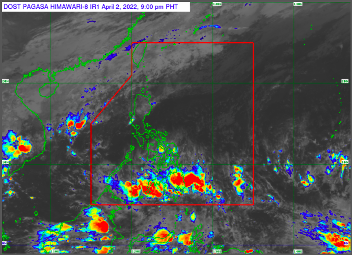
MANILA, Philippines — A low pressure area (LPA) detected near Mindanao may enter the Philippine Area of Responsibility (PAR) by Sunday or Monday, the Philippine Atmospheric Geophysical and Astronomical Services Administration (Pagasa) said Saturday.
The LPA, which was last detected 2,115 kilometers east of Mindanao, may enter PAR by Sunday night or Monday morning, according to Pagasa weather specialist Samuel Duran.
Duran, however, said the low pressure area has a low chance of developing into a typhoon.
At present, the shear line and easterlies will continue to prevail in the country, according to Pagasa.
The shear line or the tail end of a cold front will bring cloudy skies with scattered rain to Batanes, Cagayan, Isabela, Apayao, Kalinga, Ifugao and the Mountain Province.
Eastern Visayas and Caraga will also experience similar weather conditions due to the easterlies or the warm winds coming from the Pacific Ocean.
On the other hand, Metro Manila and the rest of the country will experience fair weather condition with partly cloudy to cloudy skies with isolated rain showers and thunderstorms.
Pagasa raised the gale warning in the seaboards of Batanes, Ilocos Sur, La Union, Pangasinan, western and northern coast of Ilocos Norte and the northern coast of Cagayan including the Babuyan Islands.
The said areas are expected to have a rough to very rough sea condition with 2.8 to 4.5 meters of waves due to the northeasterly surface windflow, the government weather service added.