LPA off Mindanao could intensify before Friday — Pagasa
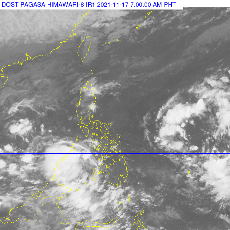
Pagasa weather satellite image
MANILA, Philippines — The state weather bureau is monitoring a low pressure area outside the Philippine area of responsibility.
The LPA was spotted 1,525 kilometers east of Mindanao, which could enter PAR in the next 24 hours, the Philippine Atmospheric Geophysical and Astronomical Services Administration said Wednesday.
But it could intensify over sea before Friday and start to bring rains over Bicol region and Visayas.
More areas will be affected by the weather disturbance over the weekend, including Calabarzon, most of Visayas, Mimaropa, Cagayan Valley and Caraga region.
Meanwhile, the northeast monsoon continued to affect Northern and Central Luzon. Cloudy skies with rains are seen over Cagayan Valley, Apayao, Kalinga, Ifugao, Mt. Province, Aurora, and Quezon, Pagasa said in its 24-hour forecast.
Article continues after this advertisementThe intertropical convergence zone in Palawan and Mindanao will bring cloudy skies with scattered rainshowers.