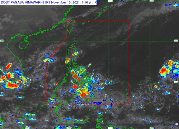

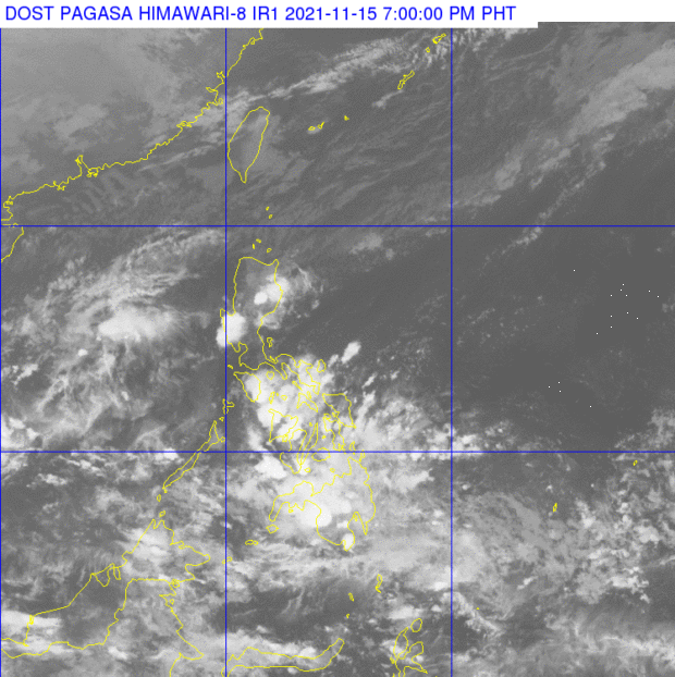
MANILA, Philippines — Majority of the country will experience overcast skies and rain on Tuesday, as a low-pressure area (LPA) is expected to affect the regions of Visayas and Mindanao, according to the forecast of the Philippine Atmospheric, Geophysical and Astronomical Services Administration (Pagasa) on Monday afternoon.
Pagasa senior weather specialist Chris Perez explained that the shear line and the northeast monsoon will continue to bring cloudy skies and light rain in the extreme northern Luzon and the northern Luzon area while the intertropical convergence zone will cause precipitation over Palawan and Kalayaan Islands.
“Sa natitirang bahagi naman ng Luzon mainit at maalinsangan, kung magkaroon man ng pagulan ay dulot lamang ng localized thunderstorms,” said Perez.
(For the rest of Luzon, hot and humid weather conditions are expected, if there is any rain, it will only be caused by localized thunderstorms.)
Meanwhile, the LPA that will influence the weather in Visayas and Mindanao is seen to bring widespread rain in these regions.
“Sa patuloy na pagkilos pakanluran ng LPA, magiging maulap, may mga pagulan at pagkidlat at pagkulog sa buong Visayas at Mindanao,” Perez said.
(As the LPA continues to move west, it will be cloudy, there will be rain, thunder and lightning throughout Visayas and Mindanao.)
But he also noted that the LPA has low chances of escalating into a storm. He warned nevertheless that its effects on Visayas and Mindanao will be within the next 24 to 36 hours.

As for the anticipated temperature range in key cities/areas across the country on Tuesday, Pagasa said:
- Metro Manila: 24 to 32 degrees Celsius
- Baguio City: 16 to 24 degrees Celsius
- Laoag City: 24 to 32 degrees Celsius
- Tuguegarao: 23 to 30 degrees Celsius
- Legazpi City: 25 to 31 degrees Celsius
- Puerto Princesa City: 25 to 31 degrees Celsius
- Tagaytay: 22 to 30 degrees Celsius
- Kalayaan Islands: 26 to 31 degrees Celsius
- Iloilo City: 25 to 31 degrees Celsius
- Cebu: 25 to 31 degrees Celsius
- Tacloban City: 26 to 30 degrees Celsius
- Cagayan De Oro City: 24 to 31 degrees Celsius
- Zamboanga City: 24 to 31 degrees Celsius
- Davao City: 25 to 31 degrees Celsius
Meantime, a gale warning is still up over the seaboards of Batanes, Babuyan Islands, and the northern coast of Ilocos Norte due to the effects of the northeast monsoon, which is locally known as “amihan.”