MANILA, Philippines — The Intertropical Convergence Zone (ITCZ), and the northeasterly surface wind flow will bring rain over most parts of Luzon on Monday, while Metro Manila and the rest of the country will experience fairer weather said the Philippine Atmospheric, Geophysical and Astronomical Services Administration (Pagasa).
According to Pagasa, the northeasterly surface wind flow will bring rain over the Cagayan Valley as well as the Batanes Islands; while cloudy skies and rain will prevail over Aurora, Quezon, Bicol Region, Calabarzon, and Mimaropa due to the ITCZ.
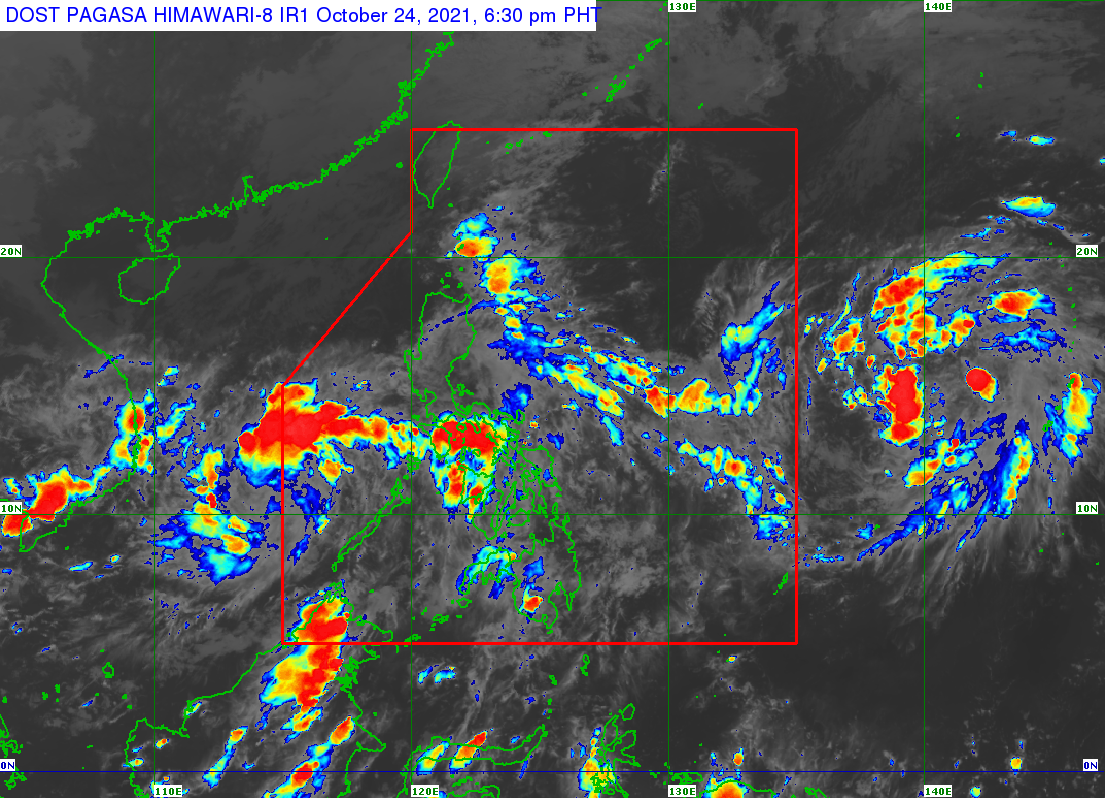
Meanwhile, a low-pressure area (LPA) currently being monitored by Pagasa located west of Palawan is expected to exit the Philippine Area of Responsibility (PAR) Sunday night to Monday morning.
However, a tropical depression remains outside PAR, which was last spotted 1,650 km east of Visayas. Pagasa said there is little possibility that the tropical depression will enter the PAR.
Below are the forecasted temperature range in key cities/areas according to Pagasa for Monday:
Metro Manila: 24 to 32 degrees Celsius
Baguio City: 16 to 24 degrees Celsius
Laoag City: 24 to 34 degrees Celsius
Tuguegarao: 24 to 28 degrees Celsius
Legazpi City: 25 to 31 degrees Celsius
Puerto Princesa City: 25 to 31 degrees Celsius
Tagaytay: 21 to 29 degrees Celsius
Kalayaan Islands: 25 to 30 degrees Celsius
Iloilo City: 24 to 31 degrees Celsius
Cebu: 25 to 31 degrees Celsius
Tacloban City: 25 to 31 degrees Celsius
Cagayan De Oro City: 24 to 31 degrees Celsius
Zamboanga City: 24 to 34 degrees Celsius
Davao City: 25 to 32 degrees Celsius
A gale warning is raised over the northern seaboards of Luzon, specifically in the Batanes Islands, Ilocos Norte, and Cagayan including the Babuyan Islands. The Wave height in these areas may reach up to 4.5 meters, Pagasa said.
Meanwhile, slight to moderate sea conditions are expected in the rest of the country.