Track of Tropical Depression Maring. Image from Pagasa
MANILA, Philippines — Tropical Depression Maring slightly intensified on Friday as it moves “erratically” over the country’s waters, the state weather bureau said.
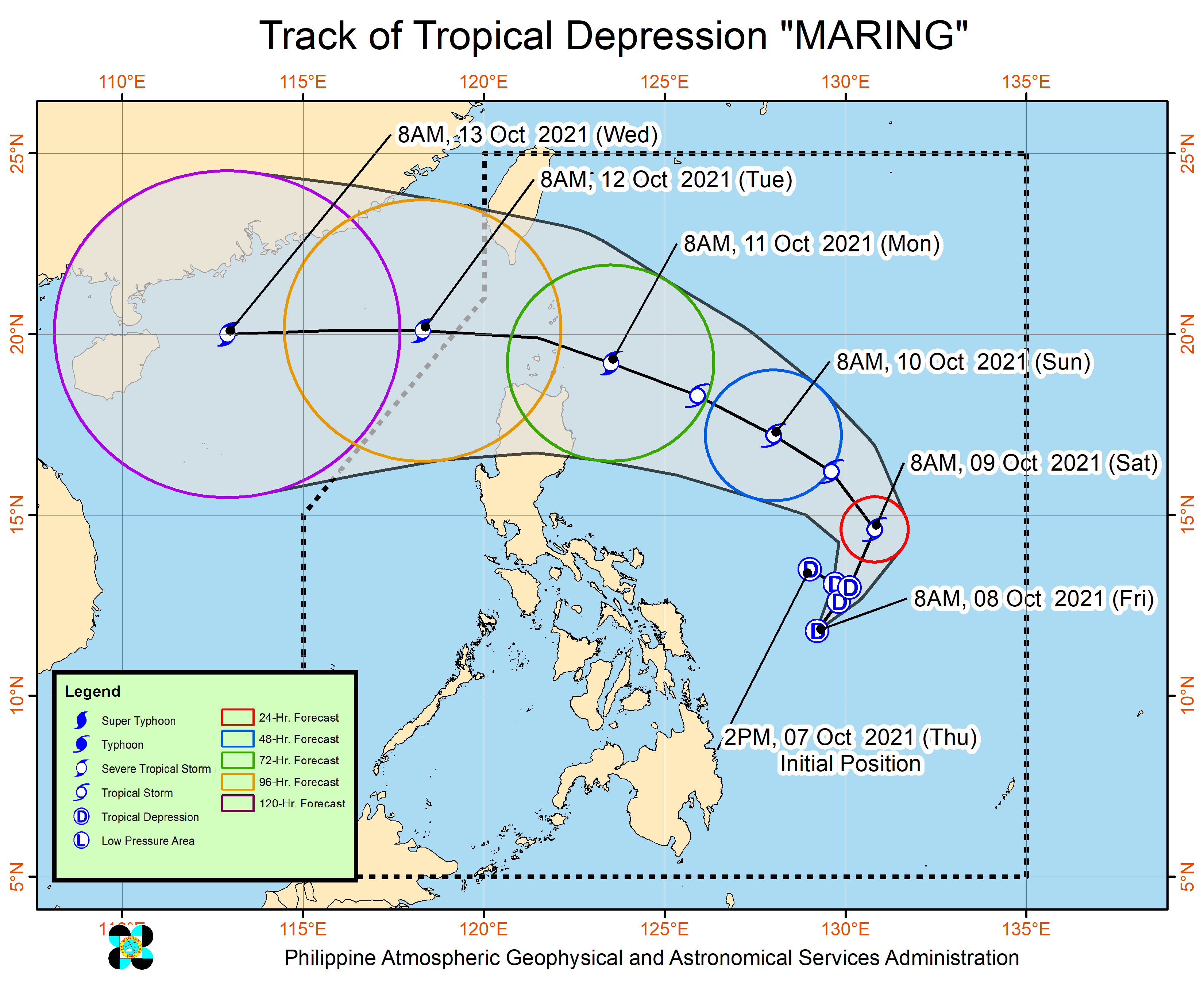
In its latest weather update, the Philippine Atmospheric, Geophysical and Astronomical Services Administration (Pagasa) said Maring was last spotted 495 kilometers (km) east of Catarman, Northern Samar.
It now packs a maximum sustained winds of 55 kilometers per hour (kph) and a gustiness of up to 70 kph, Pagasa said.
Meanwhile, Pagasa said it is currently monitoring another tropical depression outside the Philippine area of responsibility (PAR).
This tropical depression, last traced 1,805 km east of Central Luzon with winds of 45 kph and gustiness of up to 55 kph, may enter PAR by Saturday morning and will be named “Nando.”
The two weather systems may merge in the next 48 hours within the east of Luzon, according to Pagasa.
What to expect?
Pagasa said moderate with at time heavy rains are expected over the Bicol Region, Eastern Visayas, Caraga, Cebu, and Bohol due to Maring’s trough.
On Saturday, light to moderate with at times heavy rains may begin affecting Occidental Minodor, Palawan and the rest of Visayas, Pagasa added.
“Under these conditions, isolated scattered flooding (including flash floods) and rain-induced landslides are possible
especially in areas that are highly or very highly susceptible to these hazards as identified in hazard maps,” it said.
Pagasa, meanwhile, advised mariners to take precautionary measures when venturing out to sea as moderate to rough seas is expected to prevail over the seaboards of Luzon and the eastern and western seaboards of Visayas and Mindanao.
“[I]f possible, avoid navigating in these conditions,” the state weather bureau said.