


Tropical Depression Maring may bring rain over Eastern Visayas
MANILA, Philippines — The trough or extension of Tropical Depression Maring may bring light to moderate with at times heavy rains over Eastern Visayas for the rest of Thursday, according to the Philippine Atmospheric, Geophysical, and Astronomical Services Administration (Pagasa).
According to Pagasa’s latest bulletin, “scattered flooding,” including flash floods and rain-induced landslides may occur, especially in areas highly susceptible to these hazards.
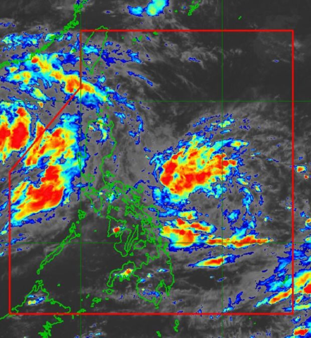
As of 4 p.m., the center of the tropical depression was located 505 kilometers east of Virac, Catanduanes. The cyclone packs maximum sustained winds of 45 kilometers per hour near the center and gustiness of up to 55 kph. It is moving south-southeastward at 15 kph.
No tropical cyclone wind signal (TCWS) is currently in effect in any part of the country.
“Current track and intensity forecast shows that there is a moderate to high likelihood that Tropical Cyclone Wind Signals (TCWS) will be hoisted over several provinces in Northern Luzon by Saturday morning or afternoon,” said Pagasa.
“The highest possible wind signal for this tropical cyclone is TCWS #2. However, due to the uncertainty in the intensity forecast, there is a possibility that higher TCWS may be raised,” the weather bureau added.
“Maring” developed from a low-pressure area at 2 p.m. Based on the forecast track, it will continue to slowly move generally southeastward in the next 12 hours before turning northward on Friday afternoon. Afterwards, the tropical cyclone will move north-northwestward while gradually accelerating over the Philippine Sea by Saturday morning.
READ: LPA east of Daet, Camarines Norte now Tropical Depression Maring
By Sunday afternoon, “Maring” will move west-northwestward towards the Extreme Northern Luzon and may pass close or make landfall over the Babuyan Islands by Monday.
“Maring” is expected to remain a tropical depression while moving over the Philippine Sea and may intensify into a tropical storm by Sunday afternoon, according to Pagasa.
Aside from “Maring,” Pagasa is also monitoring a low-pressure area that was last located 1,610 km east of Central Luzon outside the Philippine area of responsibility.
Meanwhile, in the next 24 hours, moderate rough seas will prevail over the seaboards of Luzon and the eastern and western seaboards of Visayas and Mindanao.
“These conditions are risky for those using small seacrafts. Mariners are advised to take precautionary measures when venturing out to sea and, if possible, avoid navigating in these conditions,” Pagasa warned.


