


Pagasa: Jolina moving towards Cavite
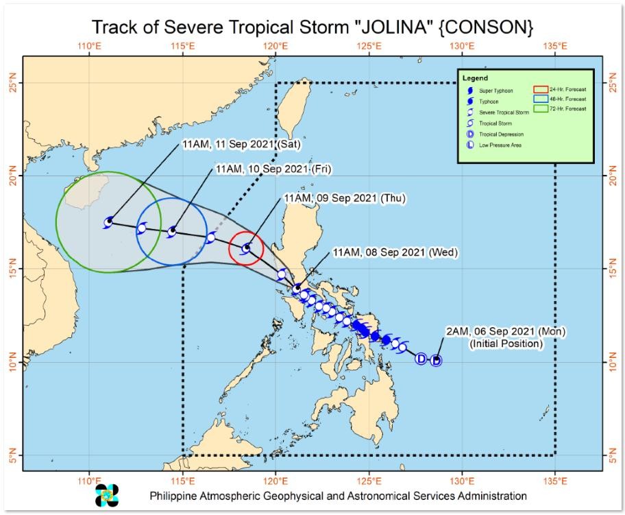
MANILA, Philippines — Severe Tropical Storm Jolina is moving towards Cavite after being spotted over San Nicolas, Batangas, the state weather agency reported.
In its 2 p.m. bulletin, the Philippine Atmospheric, Geophysical, and Astronomical Services Administration (Pagasa) said Jolina is moving northwestward at 15 kilometers per hour (kph).
Jolina has maximum sustained winds of 95 kph near the center and gustiness of 160 kph.
Metro Manila, Bataan, Cavite, Laguna, Batangas, Rizal, Quezon, Occidental Mindoro, and Oriental Mindoro will have heavy to intense with at times torrential rains in the next 24 hours.
Moderate to heavy with at times intense rains will be experienced in Aurora, Bulacan, Nueva Ecija, Pampanga, Tarlac, Zambales, Camarines Sur, Camarines Norte, Romblon, Mariduque, the northern portion of Palawan including Calamian and the Cuyo Islands, Aklan, Antique, Capiz, Iloilo, Guimaras and Negros Occidental.
Meanwhile, Ilocos Region, Cordillera Administrative Region, and Cagayan Valley can expect light to moderate with at times heavy rains.
Tropical Cyclone Wind Signal (TCWS) No. 2 (damaging gale-force to storm-force winds prevailing or expected within 24 hours) remains hoisted over the following areas:
- Northern and central portions of Oriental Mindoro (Bansud, Gloria, Pinamalayan, Pola, Socorro, Victoria,
- Puerto Galera, San Teodoro, Baco, City of Calapan, Naujan)
- Northern and central portions of Occidental Mindoro (Abra de Ilog, Paluan, Mamburao, Santa Cruz,
- Sablayan) including Lubang Islands
- Central portion of Quezon (Infanta, Real, Mauban, Sampaloc, Lucban, City of Tayabas, Lucena City,
- Sariaya, Candelaria, Dolores, Tiaong, San Antonio, Pagbilao)
- Batangas
- Cavite
- Laguna
- Rizal
- Metro Manila
- The southern portion of Bulacan (Pandi, Bulacan, Marilao, Calumpit, Norzagaray, Plaridel, Santa Maria, Balagtas, Bocaue, Bustos, City of Malolos, Angat, Obando, City of San Jose del Monte, Pulilan, City of Meycauayan, Hagonoy, Paombong, Guiguinto, San Rafael, Baliuag)
- Pampanga
- Bataan
- Zambales
- Tarlac
Meanwhile, the following areas are under TCWS No. 1 (strong winds prevailing or expected within 36 hours):
- Marinduque
- La Union
- The southern portion of Benguet (Sablan, Tublay, Bokod, La Trinidad, Baguio City, Itogon, Tuba, Kapangan, Atok)
- The southern portion of Nueva Vizcaya (Alfonso Castaneda, Dupax del Norte, Dupax del Sur, Aritao, Santa Fe, Kayapa)
- The southern portion of Aurora (Baler, Maria Aurora, San Luis, Dingalan)
- Pangasinan
- Nueva Ecija
- the rest of Bulacan
- The northern and southern portions of Quezon (Padre Burgos, Agdangan, Unisan, Gumaca, Atimoran, Plaridel, Pitogo, Macaleon, Quezon, Alabat, Perez, General Nakar) including Polillo Islands
- The rest of Oriental Mindoro
- The rest of Occidental Mindoro
Jolina is expected to exit the Philippine area of responsibility (PAR) Thursday evening or Friday morning.
RELATED STORIES
Jolina weakens; heavy rainfall expected in NCR, other parts of Luzon under Signal No. 2
‘Jolina’ prompts evacuation of 5,936 residents in Quezon
House suspends work due to Tropical Storm Jolina


