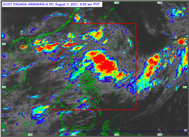
Pagasa weather satellite
MANILA, Philippines — Two low pressure areas are enhancing the southwest monsoon, locally known as habagat, which will continue to bring rains over Metro Manila and parts of Luzon on Tuesday, the state weather service said.
The Philippine Atmospheric, Geophysical and Astronomical Services Administration (Pagasa) said aside from Metro Manila, monsoon rains will also be experienced in the areas of Tarlac, Pampanga, Bulacan, Occidental Mindoro, Cordillera Administrative Region, and Cagayan Valley, Ilocos Region, Batanes, Babuyan Group of Islands, Abra, Apayao, Benguet, Zambales, and Bataan.
The rest of the country will have a fair weather condition but there are still chances of isolated rain showers due to thunderstorms due to the two weather disturbances outside the Philippine area of responsibility that are enhancing habagat.
A low pressure area was last spotted 615 kilometer (km) north of extreme northern Luzon, while a tropical depression was spotted 920 km west of extreme Northern Luzon.
“Ang sinasabing low pressure area ay nagpapalakas ng habagat, na siyang nagdadala ng pag-ulan,” weather specialist Meno Mendoza said.
(The said low pressure area is strengthening the habagat, which brings rains.)
“Itong tropical depression na nasa gawing kanluran, ito naman ay inaasahan nating hindi rin papasok ng Philippine Area of Responsibility subalit nakakatulog ito na magpalakas ng habagat,” Mendoza added.
(This tropical depression in the west, while not expected to enter the Philippine Area of Responsibility, is still strengthening habagat.)
Meanwhile, a gale warning was raised in the northern and western seaboards of Northern Luzon, and western seaboard of Central and Southern Luzon, which is expected to have moderate to strong sea waves at 1.2 to 4.0 meter tall. The rest of the country’s waters will experience slight to moderate sea conditions.