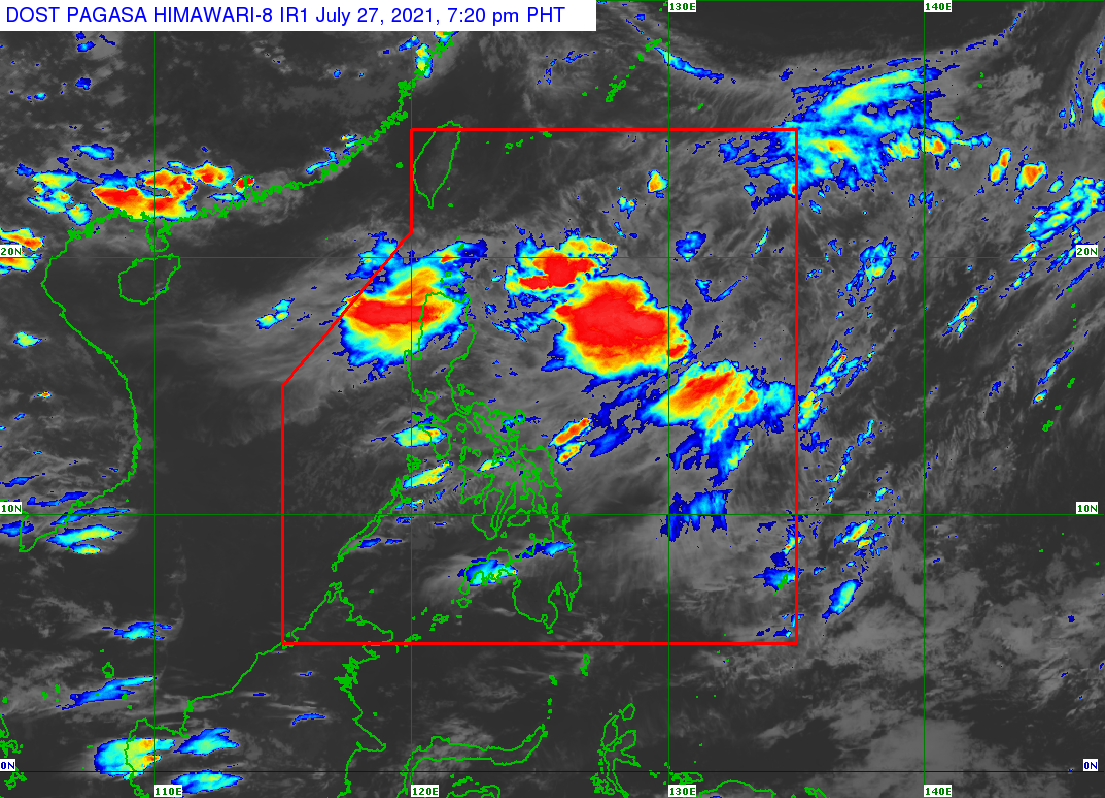
MANILA, Philippines — Thick cloud bands will continue to move over a huge part of the country on Sunday due to the trough of a low-pressure area (LPA), the Philippine Atmospheric, Geophysical and Astronomical Services Administration (Pagasa) said Saturday afternoon.
Pagasa said the LPA has already moved into the Philippine area of responsibility and was last spotted at a distance of 990 kilometers east of Northern Mindanao.
At present, the LPA is not expected to develop into a tropical cyclone over the next 24 to 48 hours, or during the time that it moves northwest towards the extreme northern Luzon area.
However, Pagasa warns that rain is possible in a lot of areas due to the clouds being pulled by LPA — from Central Luzon down to Mindanao, including areas near the Taal Volcano in Batangas.
Due to the LPA, most areas in Luzon will see cloudy skies for Sunday, leading to a drop in temperatures for Metro Manila at 24 to 28 degrees Celsius, Puerto Princesa with 24 to 29 degrees, Legazpi with 25 to 30 degrees, and Tagaytay with 21 to 27 degrees.
Up north, a better weather condition is expected but clouds may still appear, which will trigger an overall drop in temperature also for the cities of Laoag and Tuguegarao at 25 to 32 degrees Celsius.
Similarly, the Visayas and Mindanao can expect cloudy skies and rain. Tacloban is will have a temperature range of between 25 to 30 degrees Celsius, Cebu with 25 to 32 degrees, Iloilo with 25 to 31 degrees, Zamboanga with 24 to 30 degrees, Cagayan de Oro with 23 to 30 degrees, and Davao City with 24 to 32 degrees.
No gale warning has been raised on any of the shorelines, allowing safe navigation for small boats.