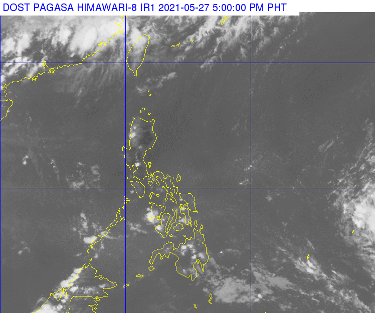
Satellite image from Pagasa
MANILA, Philippines — The low-pressure area (LPA) east of Mindanao may enter the Philippine area of responsibility (PAR) between Saturday and Sunday, state meteorologists said on Thursday afternoon.
According to reports from the Philippine Atmospheric, Geophysical, and Astronomical Services Administration (Pagasa), the LPA is still not expected to intensify into a tropical cyclone in the next 24 to 48 hours.
As of now, it is located 2,215 kilometers east of Mindanao — way outside the PAR — and is moving west. In case the LPA develops into a tropical cyclone and enters PAR, it would be given the local name Dante.
For now, the LPA has no effect on the country’s weather systems. But Mindanao may still feel the effects of the intertropical convergence zone (ITCZ), even if fewer cloud clusters are seen on satellite images.
Meanwhile, Luzon and Visayas would have warm and humid daytimes as the easterlies or warm winds from the Pacific Ocean remain prevalent.
Due to this, temperatures over Luzon for Friday would remain high, with Tuguegarao having something between 25 to 39 degrees Celsius, Laoag with 26 to 34 degrees, Metro Manila with 26 to 35 degrees, Legazpi with 27 to 34 degrees, and Puerto Princesa with 26 to 33 degrees.
Temperatures over Visayas and Mindanao would also be higher compared to the past few days: Tacloban and Iloilo with 26 to 33 degrees Celsius, Cebu with 25 to 32 degrees, Zamboanga with 24 to 34 degrees, Cagayan de Oro with 24 to 33 degrees, and Davao with 26 to 34 degrees.
No gale warnings have been raised as of now, which means fisherfolk and small boat operators may set sail in any part of the country. Sea condition across the archipelago would also be slight to moderate.