Satellite image from Pagasa
MANILA, Philippines — A low pressure area (LPA) was spotted east of Davao City, but it is unlikely to become a storm, the state weather bureau said Wednesday.
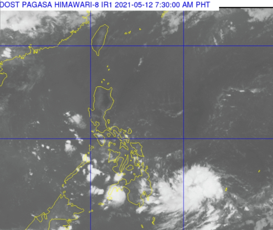
In its weather bulletin, the Philippine Atmospheric, Geophysical and Astronomical Services Administration (Pagasa) said the LPA was last spotted 495 kilometers east of Davao City at 3 a.m.. It is embedded along the Intertropical Convergence Zone (ITCZ) affecting Mindanao.
“Mababa ang tsansa na ito ay maging isang bagyo, subalit aasahan po natin na ito ay gagalaw pakaliwa patungo sa may silangang Mindanao sa susunod na dalawang araw,” Pagasa weather specialist Benison Estareja said in Pagasa’s forecast.
(There is a low chance that it will become a storm; we can expect it to move east of Mindanao in the next two days.)
“Mataas ang tsansa na paglapit nito sa lupa ay magdidissipate ito,” he added.
(There is a high chance that it will dissipate once it reaches landmass.)
Meanwhile, Pagasa said Mindanao will experience cloudy skies with scattered rain showers and thunderstorms due to the ITCZ.
The easterlies and localized thunderstorms will bring partly cloudy to cloudy skies with isolated rain showers to Metro Manila and the rest of the country.
Pagasa warned of possible floods or landslides due to moderate with at times heavy rains.