
Pagasa weather satellite image
MANILA, Philippines — Warm and humid conditions would still prevail as state meteorologists saw no climate disturbance like typhoons to affect the country in the coming days.

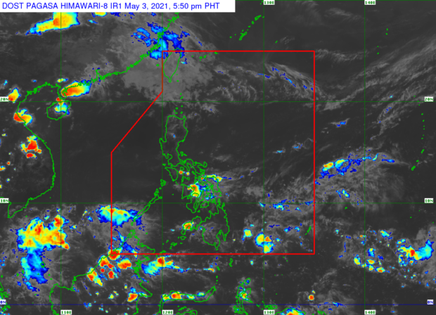
Forecast issued by Philippine Atmospheric, Geophysical and Astronomical Services Administration (Pagasa) on Monday afternoon showed the easterlies, or the warm winds blowing from the Pacific Ocean, continue to affect a huge part of the country’s weather system.
This, even if isolated rains and thunderstorms may still occur by late afternoon and night due to the high moisture content brought by the easterlies.
For Tuesday, Metro Manila and Tuguegarao would have hot daytime weather as temperatures may range from 25 to 35 degrees Celsius while Laoag would have it at 25 to 33 degrees Celsius, Tagaytay at 22 to 32 degrees Celsius, Legazpi at 26 to 32 degrees Celsius, and Puerto Princesa at 27 to 33 degrees Celsius.
Pagasa’s three-day weather prediction likewise shows that for this week, Metro Manila’s hottest may be on Thursday, May 6, although there might also be a chance of isolated thunderstorms on that day.
Similar conditions would apply in Visayas and Mindanao on Tuesday, Pagasa said, even if isolated thunderstorms may also occur especially over the southern parts of the country. Temperatures across Cebu and Tacloban would be around 26 to 32 degrees Celsius that day while Davao and Iloilo would feel it at 26 to 33 degrees Celsius and Zamboanga and Cagayan at 24 to 33 degrees Celsius, Pagasa added.
Meanwhile, the state weather service did not raise any gale warning over the country’s waters but nevertheless warned small boat operators and fisherfolk that the whole eastern seaboard of the country plus Luzon’s northern waters would have a moderate sea condition. It also said that the rest of the country would have a slight to moderate sea condition.