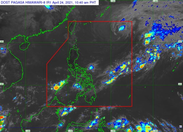
MANILA, Philippines — Typhoon Bising is expected to exit the Philippine area of responsibility (PAR) Sunday morning, continuing to weaken while moving east-southeastward over the Philippine Sea, the state weather bureau said in its latest severe weather bulletin.
In its latest bulletin, the Philippine Atmospheric, Geophysical and Astronomical Services Administration (Pagasa) said Bising was last seen some 1,005 kilometers east northeast of extreme northern Luzon.
It still packed maximum sustained winds of 95 kilometers per hour (kph) near the center, and gustiness of up to 115 while moving east southeastward at 15 kph.
By Sunday morning, Pagasa says that Bising may be around 1,445 kilometers east of extreme northern Luzon.
Currently, there are no tropical cyclone wind signals in place.
However, Pagasa noted that moderate to rough seas will be experienced over the northern and eastern seaboards of northern Luzon and advised mariners of small seacrafts not to venture out over these waters and reminded inexperienced mariners of small vessels to avoid navigating in these conditions.
