Satellite image from PAGASA
MANILA, Philippines — Bising weakened into a severe tropical storm as it continues to move away from the country, state meteorologists said on Friday afternoon.
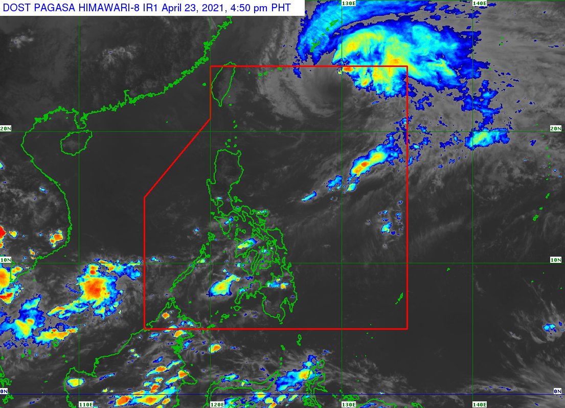
Reports from the Philippine Atmospheric, Geophysical and Astronomical Services Administration (Pagasa) showed that Bising now packs maximum sustained winds of 110 kilometers per hour (kph) near the center and gustiness of up to 135 kph.
It was last seen 825 kilometers east northeast of Basco, Batanes, and is moving northeast at a speed of 15 kph.
Pagasa’s satellite imaging also revealed that Bising and its trough no longer has any direct effect on the country’s weather, which means Northern Luzon may expect improving weather in the coming hours. However, isolated thunderstorms may still be felt in various areas of the country.
Latest forecasts puts Bising on track to leave the Philippine area of responsibility (PAR) still between Saturday evening and Sunday morning.
With the absence of Bising’s effects, temperatures across Luzon would return to warm levels, from Tuguegarao’s 24 to 33 degrees Celsius, Laoag with 24 to 32 degrees, Metro Manila with 25 to 34 degrees, Tagaytay with 23 to 32 degrees, Legazpi at 26 to 32 degrees, and Puerto Princesa with 25 to 33 degrees.
Similar warm conditions are expected in Visayas and Mindanao as Cebu and Iloilo may have temperatures between 26 to 32 degrees Celsius, Tacloban with 25 to 32 degrees, Zamboanga with 24 to 33 degrees, Cagayan de Oro with 24 to 33 degrees, and Davao with 25 to 34 degrees.
Gale warnings have been lifted but Pagasa warned that Bising may still cause moderate to rough seas over Northern Luzon’s seaboards and the eastern waters of Central Luzon. Pagasa said that small boats are still not urged to sail in these areas.