Cagayan flooding seen to ease with river rehab
OBSTRUCTION The removal of sandbars along the Cagayan River is among the solutions to ease water flow, especially during the rainy season, and prevent flooding in Cagayan Valley region. The multibillion-peso rehabilitation project was launched by environment and public works officials on Tuesday. —PHOTO COURTESY OF DEPARTMENT OF ENVIRONMENT AND NATURAL RESOURCES
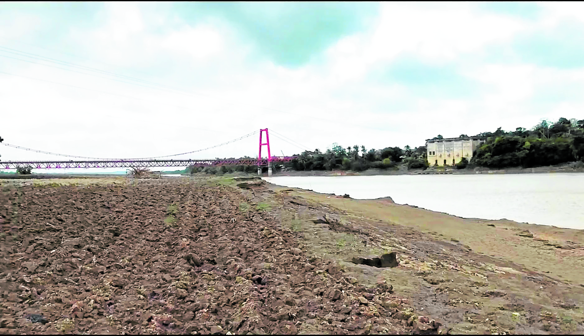
MANILA, Philippines — The rehabilitation of Cagayan River, the country’s longest waterway spanning 500 kilometers, started on Tuesday to prevent severe flooding in Cagayan Valley during the rainy months and when typhoons batter northern Luzon.
Three sandbars covering 275 hectares in three villages would be removed to ease river flow, said Environment Secretary Roy Cimatu, who led the launch of the Cagayan River Rehabilitation Project with Public Works Secretary Mark Villar in Lal-lo town, Cagayan province.
Ceremonial dredging of sandbars to launch the project was held along Magapit Narrows in the river’s constricted midstream, and bamboo propagules were planted in the riverbank in Barangay Bangag, Lal-lo. The event coincided with the celebration of the 25th World Wetlands Day.
The sandbars are located along Barangay Bangag in Lal-lo (11.4 ha), and Casicallan Norte (89 ha), and Dummun (174.70 ha) in Gattaran town. Combined, these have an estimated volume of 7 million cubic meters of sand.
Worst in 40 years
Cimatu said that of the 19 priority sandbars identified along the river, the Department of Public Works and Highways recommended the immediate dredging of the three as they block the flow of floodwater to the Aparri Delta.
Article continues after this advertisementLast year, Cagayan, a natural catch basin, and nearby Isabela were submerged in the worst flood to hit the valley in 40 years, following the combined onslaught of Typhoon “Ulysses” (international name: Vamco) and the ill-timed release of water from the Magat Dam. The floods last November affected 47,600 families, or 164,400 people, in Cagayan and Isabela.
Article continues after this advertisementAt least 29 people in Cagayan Valley died due to the floods and landslides at that time.
“This is a whole-of-government approach at its best with the support from almost all national agencies and the Cagayan provincial government,” Cimatu said during the launch.
The project, as well as the growing of bamboo propagules along critical portions of the riverbank to minimize bank erosion, was expected to “drastically reduce Cagayan’s flooding problem,” he said.
‘Twin strategies’
The sandbar clearing and bamboo planting were “inseparable twin strategies” to protect nearby agricultural lands and crops during typhoons, Cimatu added.
During the launch, 185 bamboo seedlings were planted along a 925-meter stretch of the riverbank in Bangag.
The sandbars’ removal will be done in 250-meter segments and is expected to be finished by year-end, Villar said.
Forty-six dredgers are expected to be deployed from the project, including dump trucks, bulldozers, tractors and scoop loaders.
Relocation
Cimatu said the project would also involve the relocation of families living along the flood-prone areas and the construction of evacuation centers. Livelihood assistance will be provided to the affected residents, he said.
Gwendolyn Bambalan, the Department of Environment and Natural Resources regional director, said the dredging was necessary since the riverbeds were already heavily silted. “The intention of the dredging activity is to deepen, widen and protect Cagayan River from further destruction, and not mining,” she said. “If there are mineral contents, the dredging companies will pay the corresponding taxes due to the government.”