

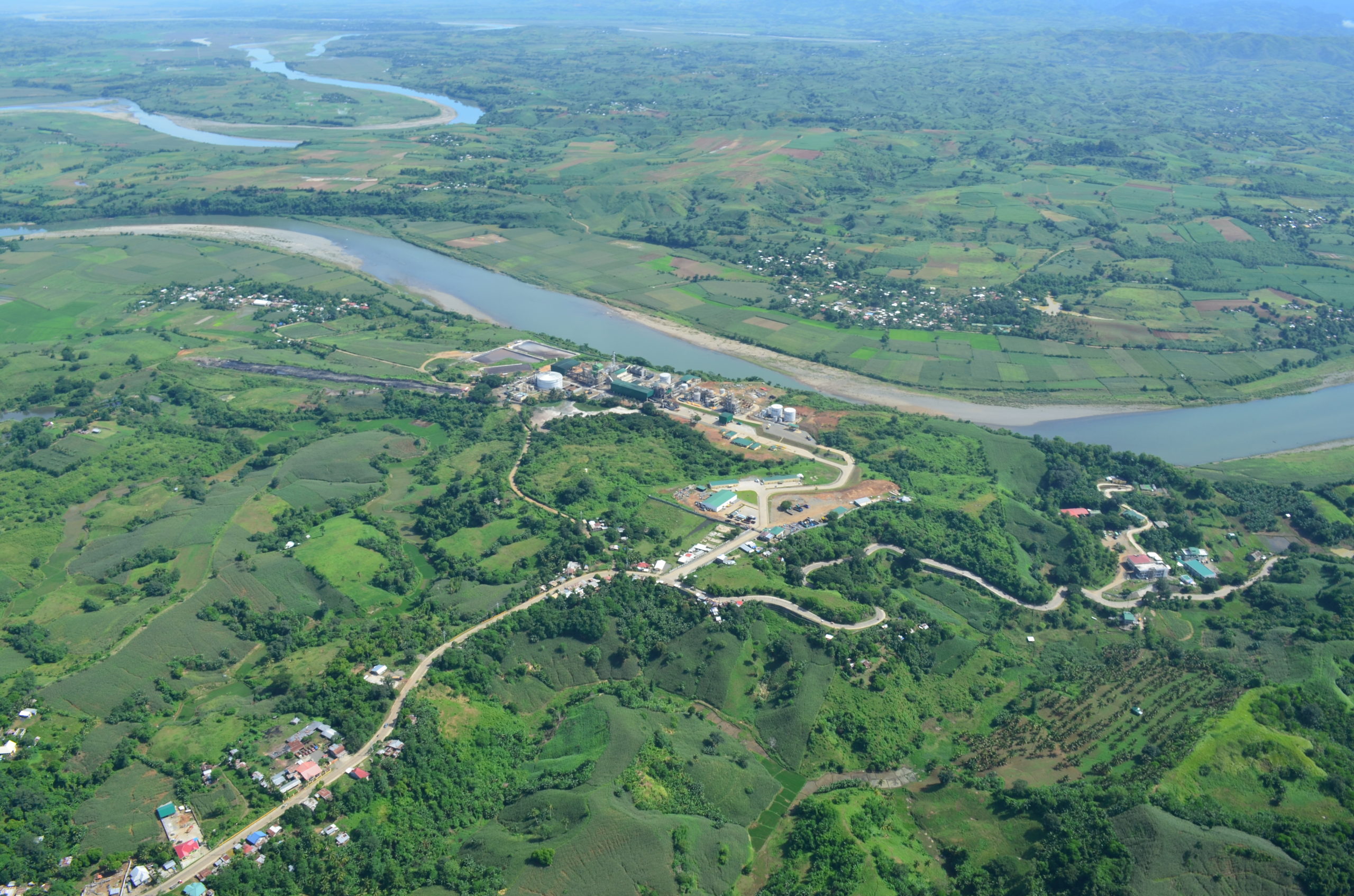
RIVER IN THE VALLEY Cagayan River, which meanders through the provinces of Cagayan Valley region, is one of the longest and largest waterways in the country. —DENR PHOTO
MANILA, Philippines — Environment Secretary Roy Cimatu on Thursday said the dredging of the bottleneck sites along Cagayan River would begin either by the end of January or early February.
Three sandbars are expected to be removed in a constricted area known as “Magapit Narrows,” which the Department of Public Works and Highways (DPWH) said was in the midstream portion of the 500-kilometer river.
One sandbar, according to the DPWH, is located in Barangay Bangag in Lal-lo town, while two others are in Casicallan Norte and Dummun, both in Gattaran town. These can yield a total estimated volume of 7 million cubic meters of sand.
The government had proposed the dredging of Cagayan and Bicol rivers following deadly floods across Luzon in the aftermath of consecutive typhoons last year.
Beyond dredging activities, construction of flood control dams, installation of retaining walls along river slopes and reforestation of the watershed were also eyed as solutions for the flooding in Cagayan Valley.
In a statement, Cimatu said the DPWH had recommended the immediate dredging of the three sandbars since they “significantly hinder” the flow of floodwater to the Aparri Delta, before eventually draining out to the Babuyan Channel.
The DPWH earlier identified 19 priority sites where sandbars, which are ridges or deposits of sands formed along the river shoreline, could be cleared.
“This is a strategic move in the short term,” Cimatu said, who also heads the Task Force Build Back Better, which was tasked to streamline the government’s post-typhoon rehabilitation efforts.