MANILA, Philippines — Tropical Cyclone Wind Signal (TCWS) No.1 remains hoisted over four areas in Luzon as Tropical Depression Vicky moves towards Palawan, the state weather bureau said Saturday.
In its 11 a.m. severe weather bulletin, the Philippine Atmospheric, Geophysical and Astronomical Services Administration (Pagasa) said that TCWS No. 1 is still up over:
- The northern and central portions of Palawan (Araceli, Dumaran, Taytay, El Nido, San Vicente, Roxas, Puerto Princesa City, Aborlan, Narra, Quezon, Sofronio Espanola) including Calamian
- Cuyo
- Cagayancillo
- Kalayaan Islands
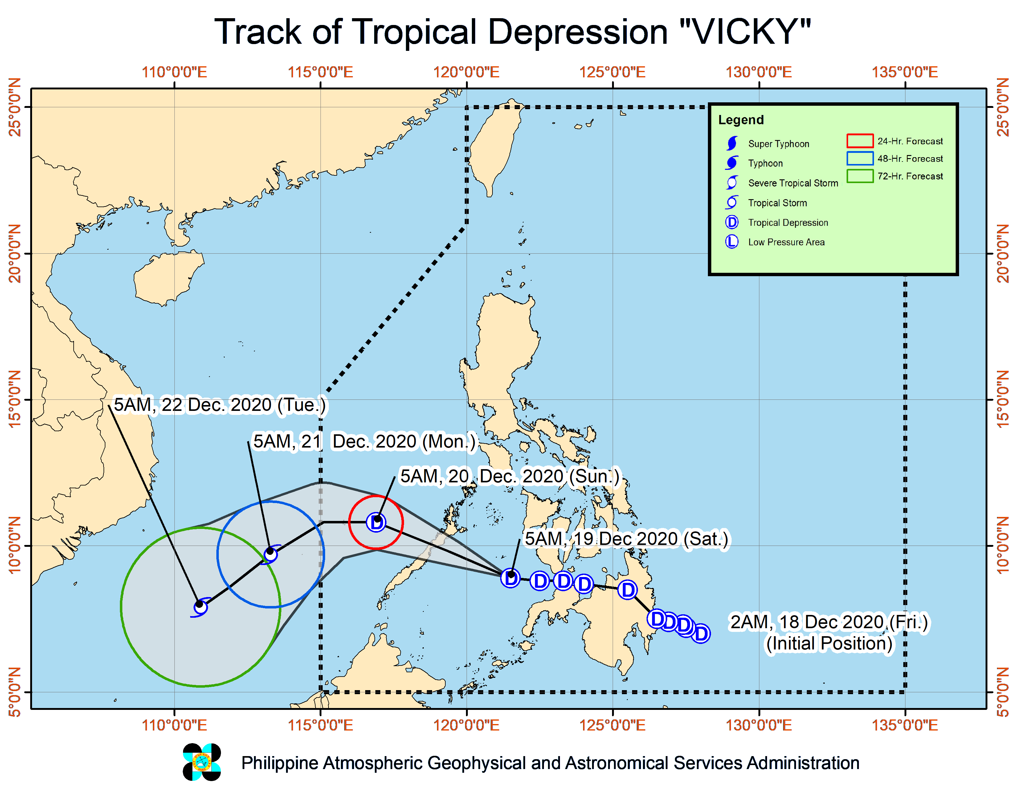
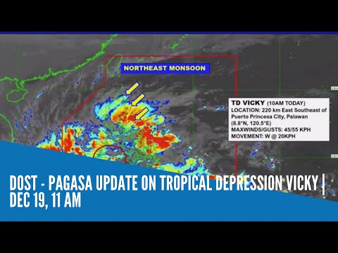
Based on Pagasa’s latest data, Vicky was last spotted at 220 kilometers east southeast of Puerto Princesa City, Palawan.
Vicky packs maximum sustained winds of 45 kilometers per hour (kph) near the center and gustiness of up to 55 kph.
The tropical depression was also spotted moving west at 20 kph.
State meteorologists said that Vicky is forecast to move generally west-northwestward over the Sulu Sea and make landfall in the vicinity of northern or central portion of Palawan Saturday night.
Moderate to heavy with at times intense rains are expected over the Calabarzon (cavite, Laguna, Batangas, Rizal, Quezon) region, Bicol region, Eastern Visayas, Isabela, Aurora, Marinduque, and the northern and central portions of Palawan including Calamian, Cuyo, and Cagayancillo Islands.
Meanwhile, Metro Manila, Apayao, Kalinga, Mountain Province, Ifugao, Dinagat Islands, Surigao del Norte, Surigao del Sur, Agusan del Norte, Camiguin, Misamis Oriental, and the rest of mainland Cagayan Valley, Central Luzon, Mimaropa, Cordillera Administrative Region, and Visayas are expected to have light to moderate with at times heavy rains.
Vicky is expected to leave the Philippine area of responsibility Sunday afternoon or evening.