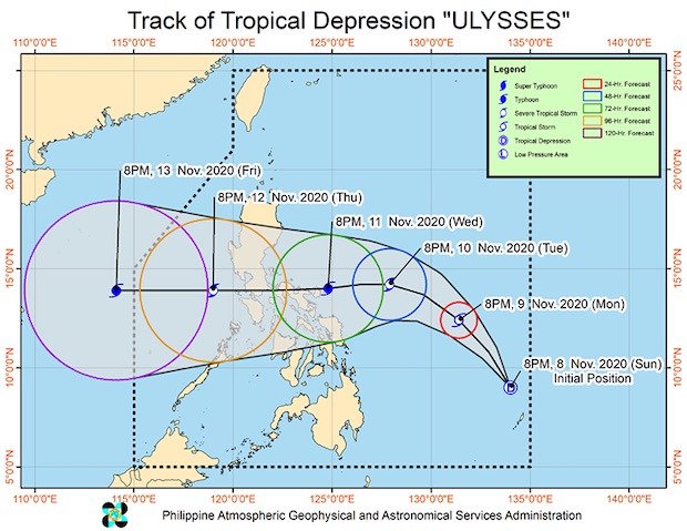
Image from PAGASA
MANILA, Philippines — Tropical Depression Ulysses on Monday accelerated and slightly intensified ahead of its forecast landfall in the vicinity of the Bicol region and Quezon province, the state weather bureau said.
In its 11 a.m. severe weather bulletin, the Philippine Atmospheric, Geophysical and Astronomical Services Administration (Pagasa) said Ulysses was last spotted at 635 kilometers (kms) east northeast of Surigao City, Surigao del Norte, or 605 kms east of Borongan City, Eastern Samar.
It is moving northwest at 40 kilometers per hour (kph) and packing maximum sustained winds of 55 kph and gustiness of up to 70 kph.
Pagasa said Ulysses is also forecast to further strengthen and is likely to reach tropical storm category within 24 hours.
It may intensify into a typhoon on Wednesday prior to landfall.
Pagasa said Ulysses, so far, s not causing severe weather conditions in any part of the country.
However, windy conditions and rainfall will begin affecting parts of Eastern Visayas and the Bicol region by Tuesday or Wednesday.
Pagasa said Tropical Cyclone Warning Signal No. 1 may be raised parts of the Bicol region or Eastern Visayas as early as Monday night or Tuesday morning “in anticipation of the onset of a strong breeze to near gale conditions.”
Meanwhile, a tail-end of a cold front will bring moderate to heavy rains with at times intense rains over Cagayan including Babuyan Islands, Isabela, and Aurora.
Pagasa warned residents of possible landslides and flash floods.
Moderate to rough seas will be experienced over the eastern seaboards of the country in the next 24 hours due to the combined effects of the circulation of Ulysses and the prevailing easterlies.
“Mariners of small seacrafts are advised to take precautionary measures when venturing out to sea. Inexperienced mariners should avoid navigating in these conditions,” Pagasa said.