MANILA, Philippines — Tropical Depression Tonyo made landfall in San Juan, Batangas at 8 a.m. on Sunday, the Philippine Atmospheric, Geophysical and Astronomical Services Administration (Pagasa) said.
Tropical Cyclone Wind Signal (TCWS) No. 1 is raised in the following areas in Luzon:
- northern and central portions of Quezon (Gumaca, Pitogo, Quezon, Alabat, Perez, Unisan, Plaridel, Atimonan, Agdangan, Padre Burgos, Pagbilao, Mauban, Tayabas City, Lucena City, Sariaya, Candelaria, Tiaong, San Antonio, Dolores, Lucban, Sampaloc, Real, Infanta, General Nakar) including Polillo Islands
- Cavite
- Laguna
- Rizal
- Batangas
- Metro Manila
- Bataan
- Bulacan
- Pampanga
- southern portion of Aurora (Dingalan)
- southern portion of Zambales (San Marcelino, San Felipe, San Narciso, San Antonio, Castillejos, Subic, Olongapo City)
- Marinduque
- northern portion of Romblon (Romblon, San Andres, Calatrava, San Agustin, Corcuera, Banton, Concepcion)
- northern and central portions of Oriental Mindoro (Bongabong, Bansud, Gloria, Pinamalayan, Socorro, Pola, Naujan, Victoria, Calapan City, Baco, San Teodoro, Puerto Galera)
- northern and central portions of Occidental Mindoro (Sablayan, Santa Cruz, Mamburao, Paluan, Abra de Ilog) including Lubang Island
Pagasa said areas under TCWS No. 1 may experience “strong breeze to near gale conditions with occasional gusts” throughout the passage of Tonyo.
The northeast monsoon will also bring strong breeze to near gale conditions over Batanes, Babuyan Islands, Ilocos Norte, Apayao, and the northern portion of mainland Cagayan.
Tonyo’s path
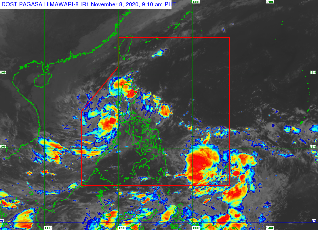
In its severe weather bulletin issued at 11 a.m., Pagasa said Tonyo will emerge over the West Philippine Sea this Sunday morning or afternoon and exit the Philippine Area of Responsibility (PAR) on Monday morning.
Pagasa added that the weather disturbance is expected to intensify into a tropical storm within 24 hours.
The tropical depression first made landfall in Ticao Island at 9 p.m. Saturday and then in Torrijos, Marinduque at 4:30 a.m. Sunday.
At 10 a.m., the center of Tonyo was spotted in the vicinity of Lobo, Batangas. It is moving west-northwest at 25 kilometers per hour (kph) and has maximum sustained winds of 45 kph near the center and gustiness of up to 60 kph.
Sunday weather forecast
Pagasa said Tonyo will bring light to moderate with at times heavy rains to the Ilocos region, Cordillera Administrative Region, Cagayan Valley, Aurora, the northern portion of Quezon including Polillo Islands, Rizal, Laguna, Cavite, Batangas, Mindoro provinces, and Palawan including Calamian and Kalayaan Islands.
Rough seas
Meanwhile, moderate to rough seas (1.5 to 3.5 m) due to the effects of the tropical depression and the prevailing easterlies will be experienced over the seaboards of areas under TCWS No. 1 and the eastern seaboards of Cagayan Valley, Aurora, the northern portion of Quezon, and the northern and eastern seaboards of Catanduanes.
“Mariners of small seacrafts are advised to take precautionary measures when venturing out to sea. Inexperienced mariners should avoid navigating in these conditions,” Pagasa said.
The northeast monsoon, meanwhile, will bring rough to very rough seas (2.5 to 4.5 m) over the seaboards of Batanes, Ilocos Norte, and Ilocos Sur and the northern seaboard of Cagayan including Babuyan Islands.
Pagasa warned that sea travel is risky over these waters, especially for smaller vessels.