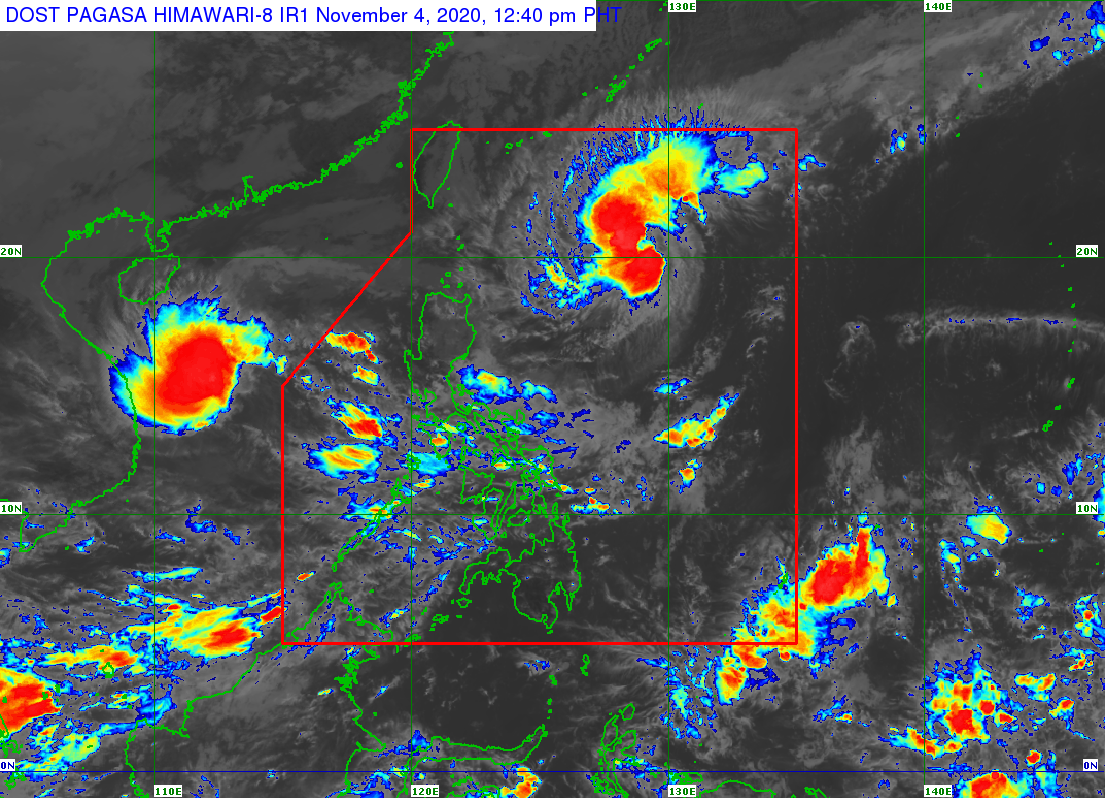
MANILA, Philippines — Tropical storm Siony (international name: Atsani) maintained its strength as it moves slowly over the Philippine Sea east of Extreme Northern Luzon, the state weather bureau said Wednesday.
In its 11 a.m. weather bulletin, the Philippine Atmospheric, Geophysical and Astronomical Services Administration (Pagasa) said Siony was last spotted at 755 kilometers east of Basco, Batanes.
Siony also packed maximum sustained winds of 85 kilometers per hour (kph) near the center, and gustiness of up to 105 kph.
The tropical storm is also moving eastward slowly, Pagasa said.
Tropical Cyclone Wind Signal (TCWS) No. 1 remains hoisted over the northeastern portion of mainland Cagayan (Santa Ana, Gonzaga) and the eastern portion of Babuyan Islands (Balintang Island, Babuyan Island, Didicas Island., and Camiguin Island including their adjoining islets).
Based on Pagasa’s forecast, Siony will either move slowly or almost remain stationary in the next 12 hours. Afterwards, Siony will move generally westward or west-northwestward towards the Luzon Strait and Extreme Northern Luzon.
Pagasa’s forecast also shows that the center of the tropical storm will either move over or very close to Batanes and the Babuyan Islands between Thursday evening and Friday morning.
“As such, a landfall scenario over these localities remains likely,” the state weather bureau said.
The tropical storm is also forecast to intensify to a severe tropical storm in the next 24 hours and may reach its peak intensity of 100 to 110 kph on Thursday prior to its landfall over Extreme Northern Luzon.
Siony is expected to exit the Philippine Area of Responsibility on Friday evening.