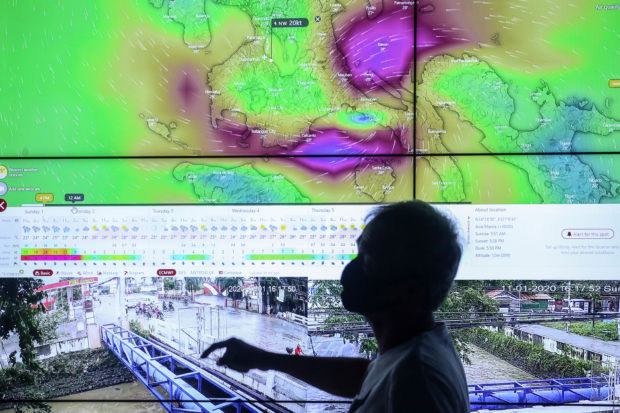
TYPHOON TRACK Personnel of the City Disaster Risk Reduction and Management Office keep tabs on the movement of Typhoon Rolly (international name: Goni) as well as flooding in different parts of Santa Rosa, Laguna province, through multiple screens at the municipality’s command center on Sunday. —JAM STA. ROSA
MANILA, Philippines — While parts of the Bicol region and Southern Luzon were ravaged by Typhoon Rolly, the strongest in the world so far this year, Metro Manila was seemingly spared despite being placed under Tropical Cyclone Wind Signal No. 4 at one point.
What happened?
Philippine Atmospheric, Geophysical, and Astronomical Services Administration (Pagasa) weather forecaster Benny Estajera explained that it was the westward movement of Typhoon Rolly that essentially lessened its impact to Metro Manila.
“Kung matatandaan natin, nagtaas tayo ng Signal No. 3, up to Signal No. 4 kahapon ng umaga sa Metro Manila and kalapit na lugar but it so happened na spared tayo doon sa mga pang-Signal No. 4 talaga na lakas ng hangin at ulan,” Estajera told DZMM Teleradyo on Monday.
(If you will recall, Metro Manila was placed under Signal number 3 and 4 yesterday, but the region was spared, it was not hit by Signal No.4 – strength winds and rains.)
“’Yung reason dyan ay nag-westward yung general movement nitong si Rolly while going from Bicol region across Quezon hanggang dito sa Batangas. So yung forecast track na pa-northwest na halos doon na dikit na dito sa Metro Manila yung sentro is medyo lumayo,” he added.
(Metro Manila was spared because Rolly diverted from its forecast northwest track and instead moved westward from the Bicol region to Quezon province, and farther from the capital region.)
Estajera said Rolly’s impact was felt in Metro Manila’s neighbouring provinces such as Cavite, Batangas and Laguna.
“At the same time, nagkaroon ng biglaang paghina kaya yung effect dito sa Metro Manila hindi naranasan pero kung mapapansin natin, sobrang lakas din ng hangin dito sa ibaba, sa Cavite, Batangas and Laguna, Quezon provinces,” Estajera said.
(Rolly also weakened significantly, that is why its impact was not as strong in Metro Manila, although strong rains and winds were reported in neighboring provinces.)
Rolly has since been downgraded to a tropical storm.
In its 5 a.m. weather bulletin, Pagasa said Tropical Storm Rolly was last located 100 kilometers west southwest of Subic Bay.
It has a maximum sustained winds of 65 kilometers per hour (kph) near the center and gustiness of up to 80 kph while moving west northwest at 20 kph.
Tropical Cyclone Wind Signal No. 1 is still up over several areas in the country such as the northwestern portion of Occidental Mindoro, western portion of Batangas, extreme western portion of Laguna, Cavite, Metro Manila, western portion of Bulacan, western portion of Pampanga, Bataan, and southern portion of Zambales.

