Pagasa expects another LPA to arrive Friday
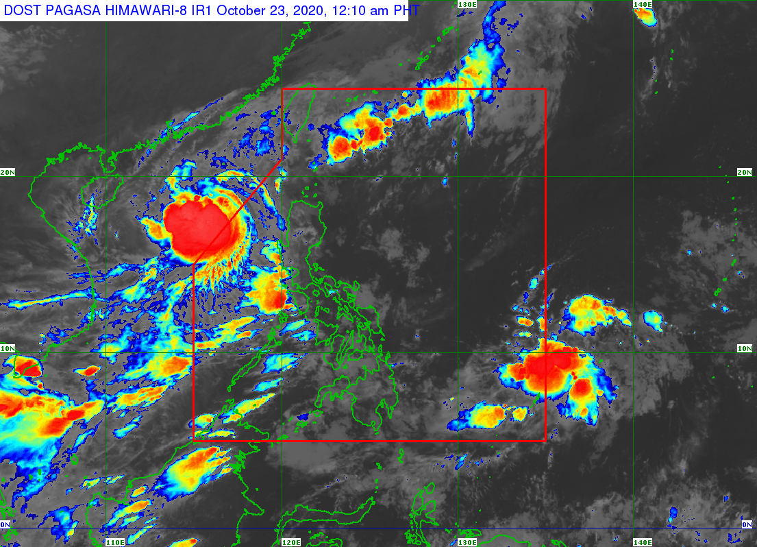
Pagasa satellite image as of 12:10 AM, October 23, 2020
The Philippine Atmospheric, Geophysical and Astronomical Services Administration (Pagasa) is monitoring a new low pressure that is expected to enter the Philippines by Friday, as “Pepito” (international name: Saudel) left the country’s area of responsibility on Thursday.
Pepito further intensified into a typhoon by Thursday morning and is expected to make landfall over central Vietnam on Sunday.
Even if it’s already out of the country’s territory, the cyclone will still bring cloudy skies with scattered rain showers and thunderstorms over several provinces in Luzon, from Batanes and Babuyan Islands in the far north to the coastal provinces of Pangasinan, Zambales and Bataan, to Occidental Mindoro and Palawan further southwest.
Pagasa said that as of 3 p.m. of Thursday, the typhoon remained almost stationary, but it packed winds of up to 120 kilometers per hour near the center and gusts of up to 150 kph.
The weather bureau is keeping its sights on the low pressure estimated at 1,200 km east of Mindanao which is expected to develop into a tropical depression over the weekend.
Pagasa cautioned the public against possible flash floods or landslides due to scattered light to moderate rains. —JHESSET O. ENANO AND KARL R. OCAMPO